The land of Thor
Þórsmörk
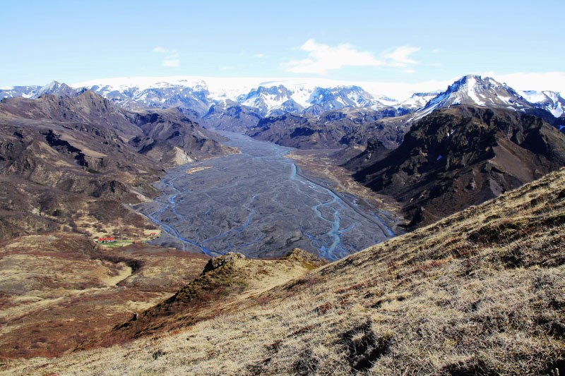
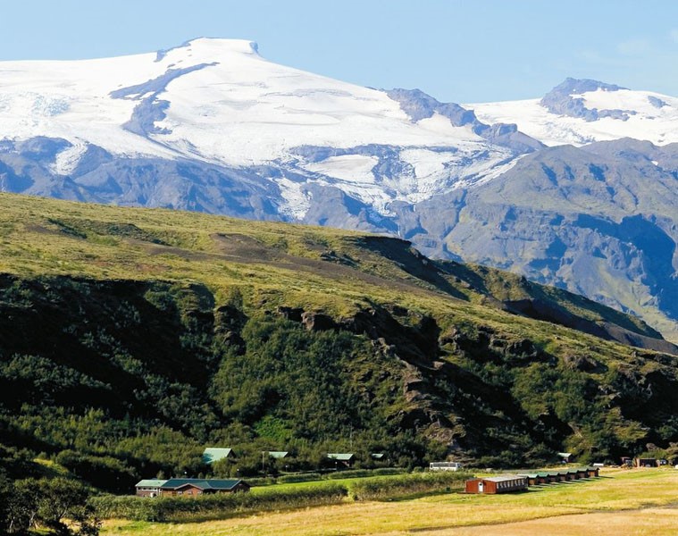
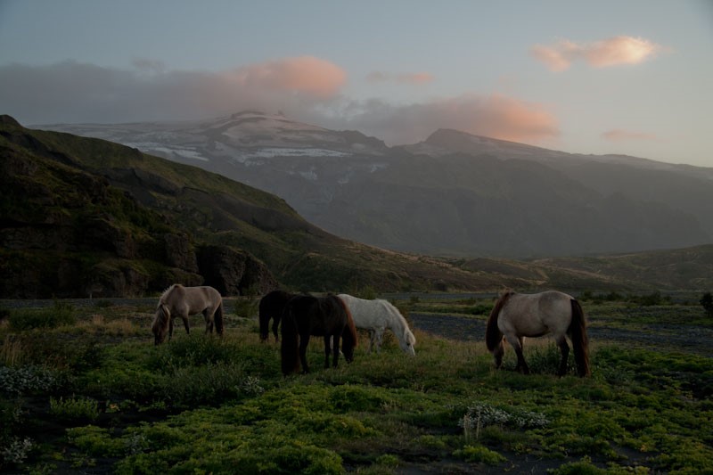
Þórsmörk (Thórsmörk) is a natural gem that sits between Mýrdalsjökull to the east, the river Krossá in the south, with Markárfljót and Þröngá Rivers to the north. Its diverse landscape is characterised by impressive gorges, ravines and scruby slopes and a wide variety of vegetation that is unique to the area. In times past, the farmers of Fljótshlíð and the area under Eyjafjall pastured their sheep all year round, due to the mild climate found within þórsmörk. Since the 1918 eruption of Katla, Þórsmörk was designated as a Natural Mountain Reserve. There are many curious natural rock formations in the area, such as Snorraríki, Sóttarhellar Cave, Álfakirkja (The Church of the Elves), Stakkholtsgjá Gorge and the stone arch in Stóra Enda. Only large jeeps and buses are able to navigate the road into Þórsmörk, due to the ever changing volume of water which can turn small and easily passable tributaries into tumultuous rivers in matter of hours.
Celebrating Earth Heritage
How to visit the Katla Geopark
Katla UNESCO Global Geopark is in central South Iceland