The outwash plain of
Mýrdalssandur
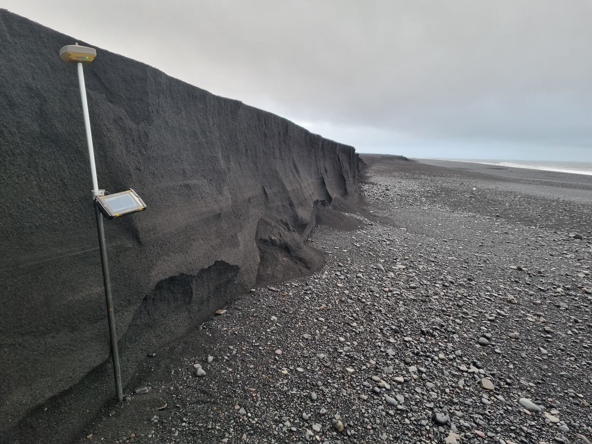
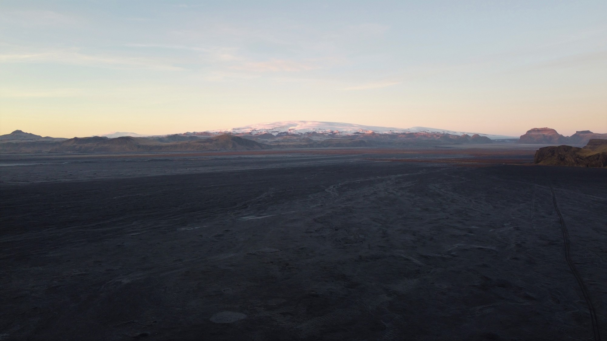
Mýrdalssandur is a sand plain southeast of Vík. The plain has been built up by successive glacial outburst floods due to subglacial eruptions in Katla Volcano. With each outburst flood, the sand plain gets higher, and the coastline is extended. The coastline is believed to be about 2,5 km further south now than it was in 1660 and the thickness of the plain is around 60 meters near Mt. Hjörleifshöfði and gets thicker to the north and is about 120 meters at Mt. Hafursey. The deposits from the floods is mostly made out of glassy pumice and sand, and it is the high content of glass that makes the sand so black. Kötlutangi spit is the southern most point of Mýrdalssandur sand plain, and Iceland itself, but it has been heavily eroded by the sea over the last few decades. Often after large storms, you can see the deposition layer of the 1918 outburst flood on the beach (fig nr. 2). The sand plain used to be difficult to cross, due to multiple large rivers, sand liquefaction and sandstorms. Today, large parts of the plain are vegetated which has decreased the size of the sandstorms, but large dust clouds still form during storms.
Celebrating Earth Heritage
How to visit the Katla Geopark
Katla UNESCO Global Geopark is in central South Iceland