Explore the Geosites in Katla Geopark
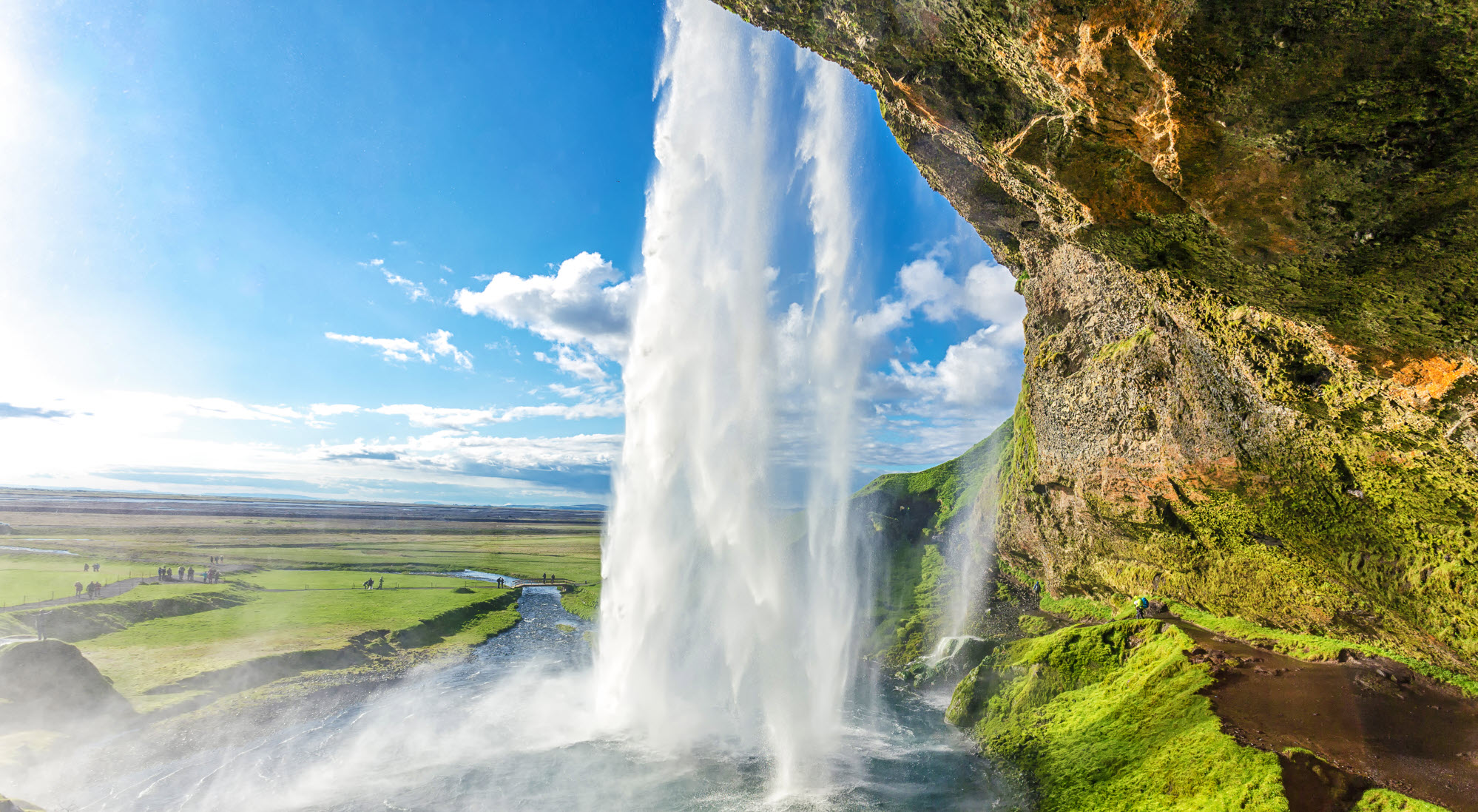
Katla Geopark is Iceland´s first geopark and it opens up a natural wonderland to visitors! Katla Geopark is accessible all year round, and each season has its own magical charm in this spectacular natural paradise...


Explore the Geosites in Katla Geopark
Katla Geopark is Iceland´s first geopark and it opens up a natural wonderland to the visitor. Katla Geopark is accessible all year round, and each season has its own magical charm in this spectacular natural paradise.


News and Events


Celebrating Earth Heritage
How to visit the Katla Geopark
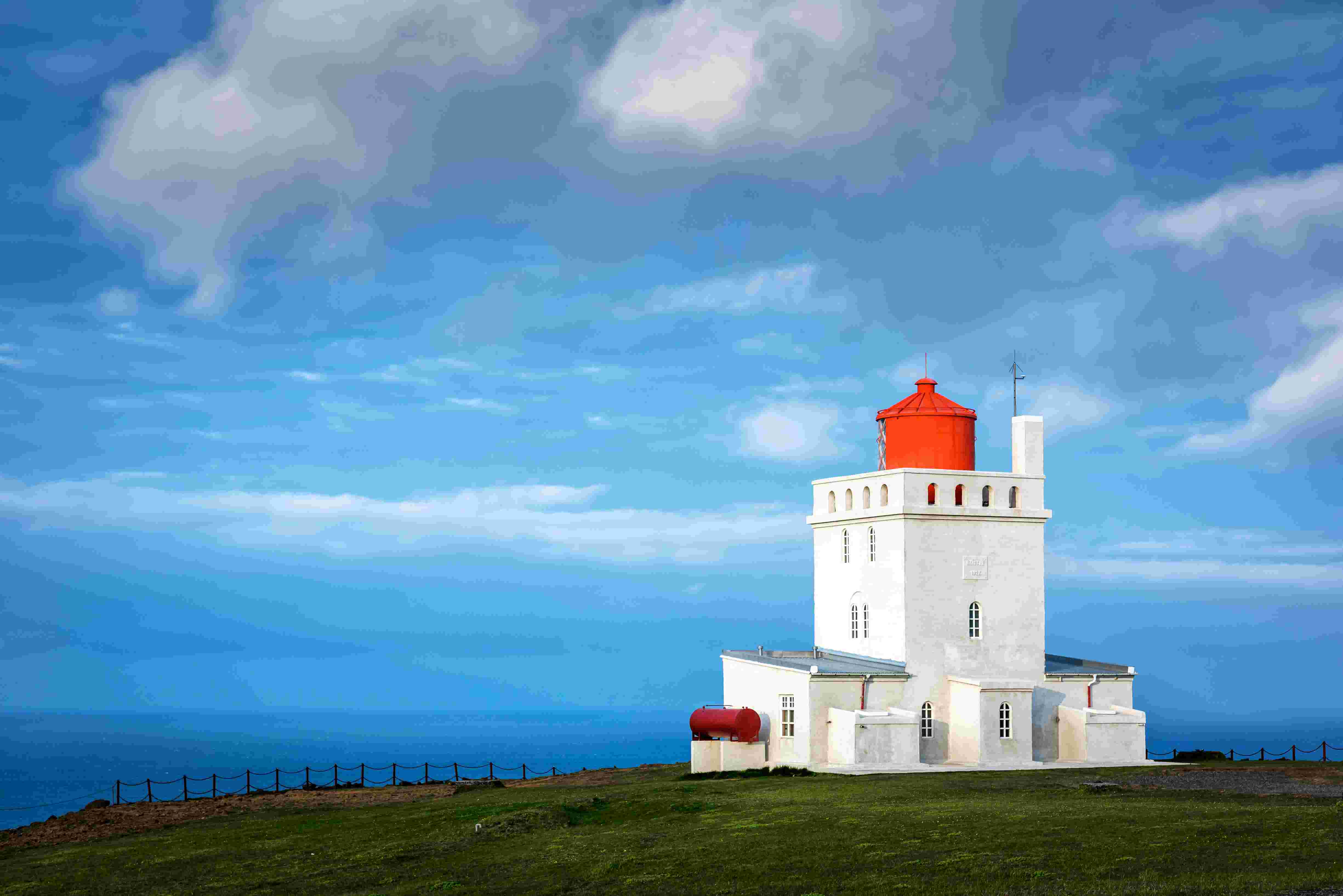
Katla UNESCO Global Geopark is in central South Iceland