Grant from the Icelandic Road and Coastal Administration’s Research Fund
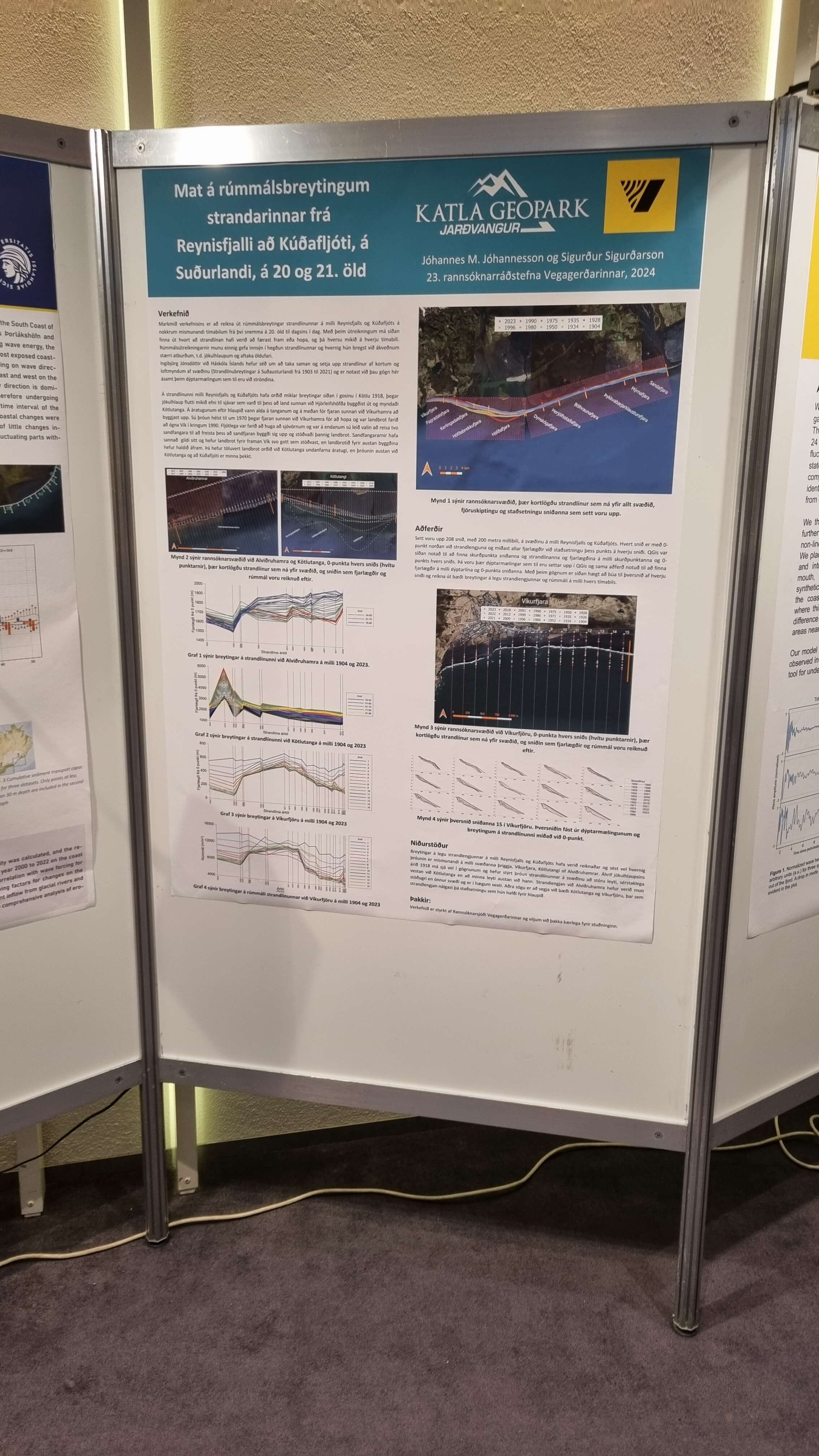
Katla Geopark received a grant from the Icelandic Road and Coastal Administration’s Research Fund to carry out the project "Estimation of volume changes of the coastline between Mt. Reynisfjall and Kúðafljót river, South Iceland, during the 20th and 21st centuries."
The project involved calculating changes to the shoreline between Mt. Reynisfjall and Kúðafljót, as well as volume changes where depth measurement data was available, which is at Víkurfjara Beach and Alviðruhamrar.
This project is part of ongoing research into coastal erosion near Vík í Mýrdal, conducted by the Icelandic Road and Coastal Administration and, in recent years, the Geopark.
The project was presented at the Road and Coastal Administration’s research conference in November 2024, and plans are in place to perform similar calculations for the entire south coast of Iceland in the coming years.
The report can be read here: https://www.vegagerdin.is/vegagerdin/gagnasafn/skyrslur/utgefnar-rannsoknaskyrslur/umhverfi/2025-umhverfi/estimation-of-volume-changes-of-the-coastline-between-mt-reynisfjall-and-kudafljot-river
Celebrating Earth Heritage
How to visit the Katla Geopark
Katla UNESCO Global Geopark is in central South Iceland