Student Research Projects at Kirkjubæjarskóli
Katla Geopark and Kirkjubæjarskóli recently launched two student research projects at the school, one for middle-grade students and the other for upper-grade students.
The project involving the upper-grade students began last autumn and focuses on mapping erosion caused by the Skaftá River in and around Kirkjubæjarklaustur. Students have now taken drone photographs of the river channel in both autumn and spring. During the next school year, they will begin processing and analyzing the images they have collected.
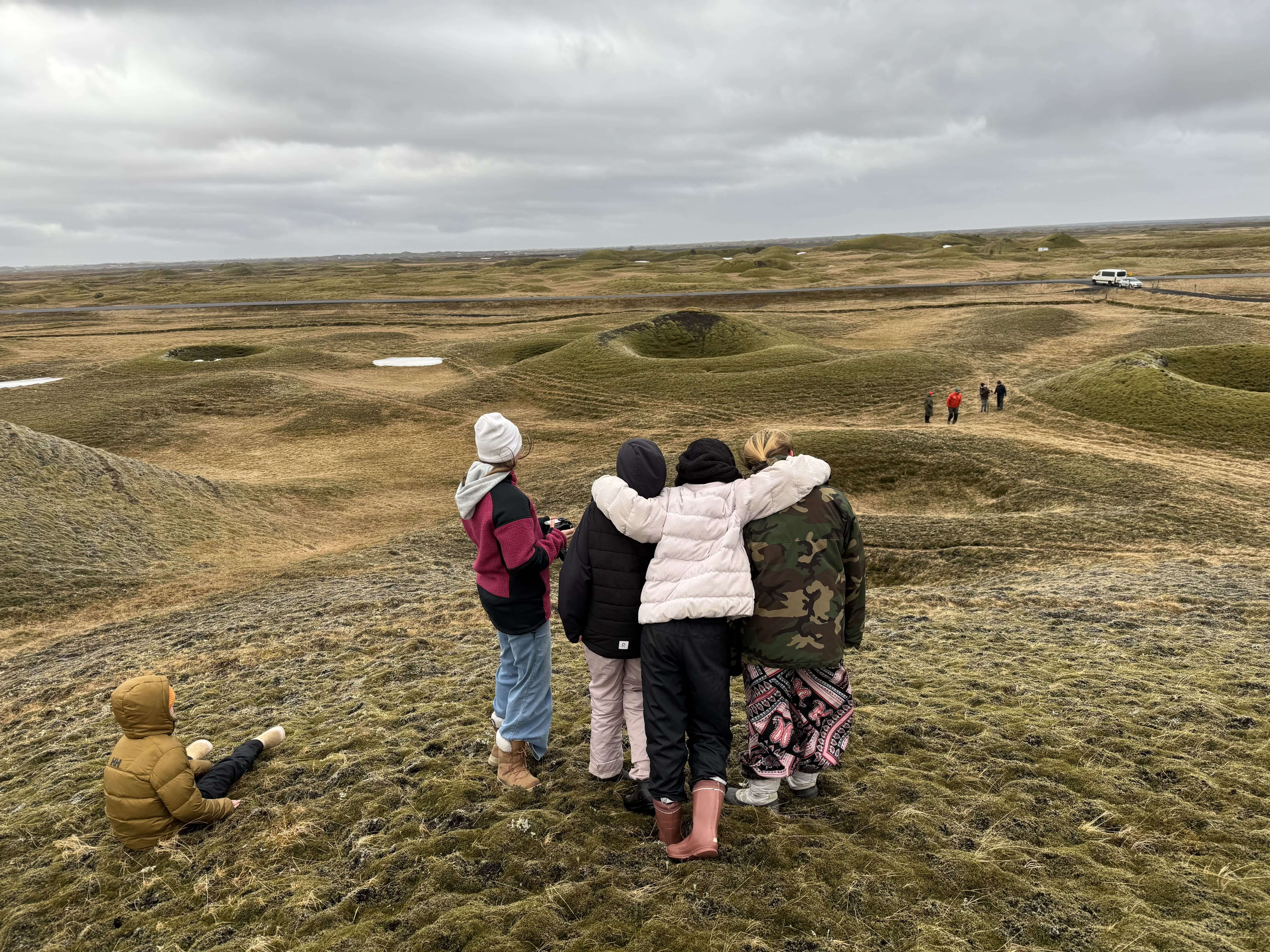
The middle-grade students will be mapping Landbrotshólar over the coming years using both drone photography and GPS measurements. Field measurements will be carried out over the next few years. Once the students reach the upper grades, they will work with the data they have collected from the hills, for example, by creating maps of the areas they surveyed.
The middle-grade students recently went out to measure the first hills. Unfortunately, weather conditions prevented them from flying the drone.
Katla Geopark would like to thank Kirkjubæjarskóli and its students for a wonderful collaboration. We look forward to continuing this research in the years ahead!
Celebrating Earth Heritage
How to visit the Katla Geopark
Katla UNESCO Global Geopark is in central South Iceland