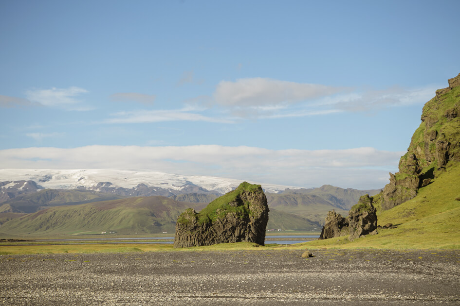
Dyrhólaey
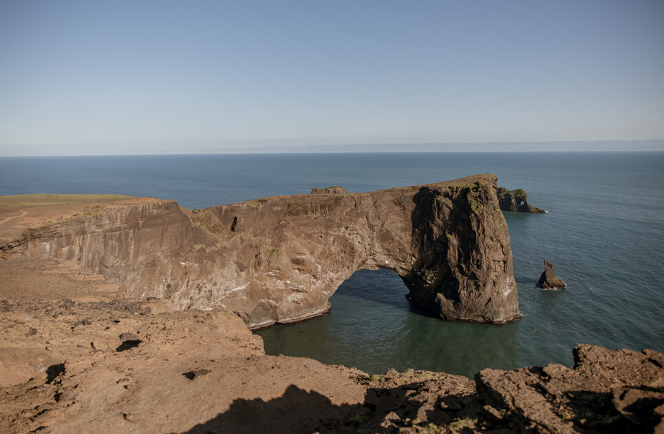
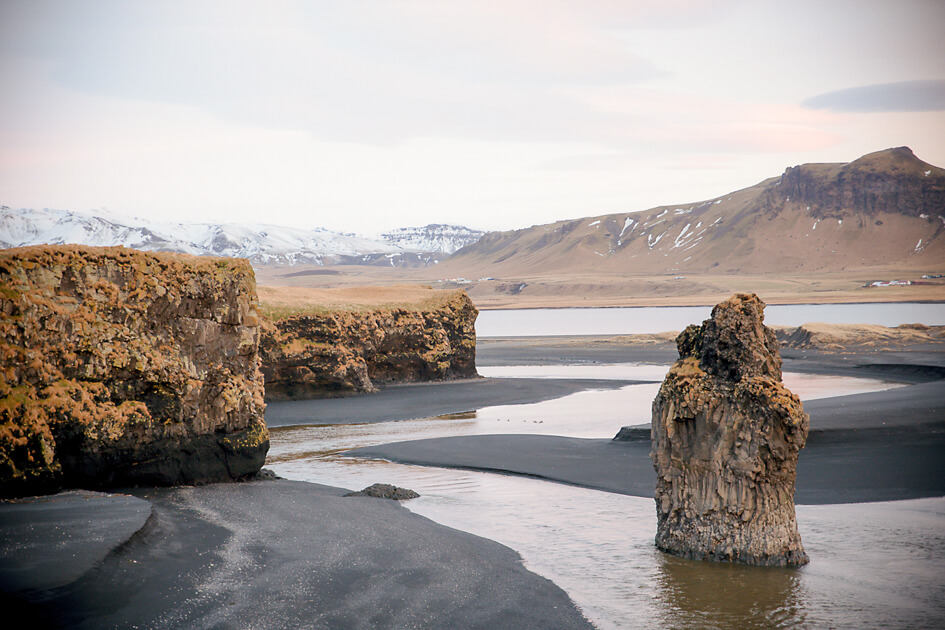
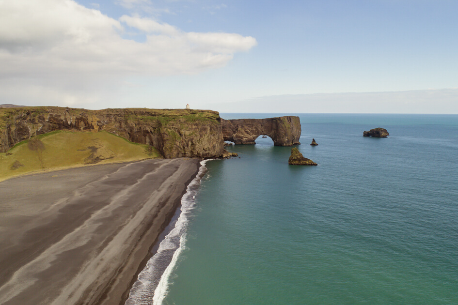
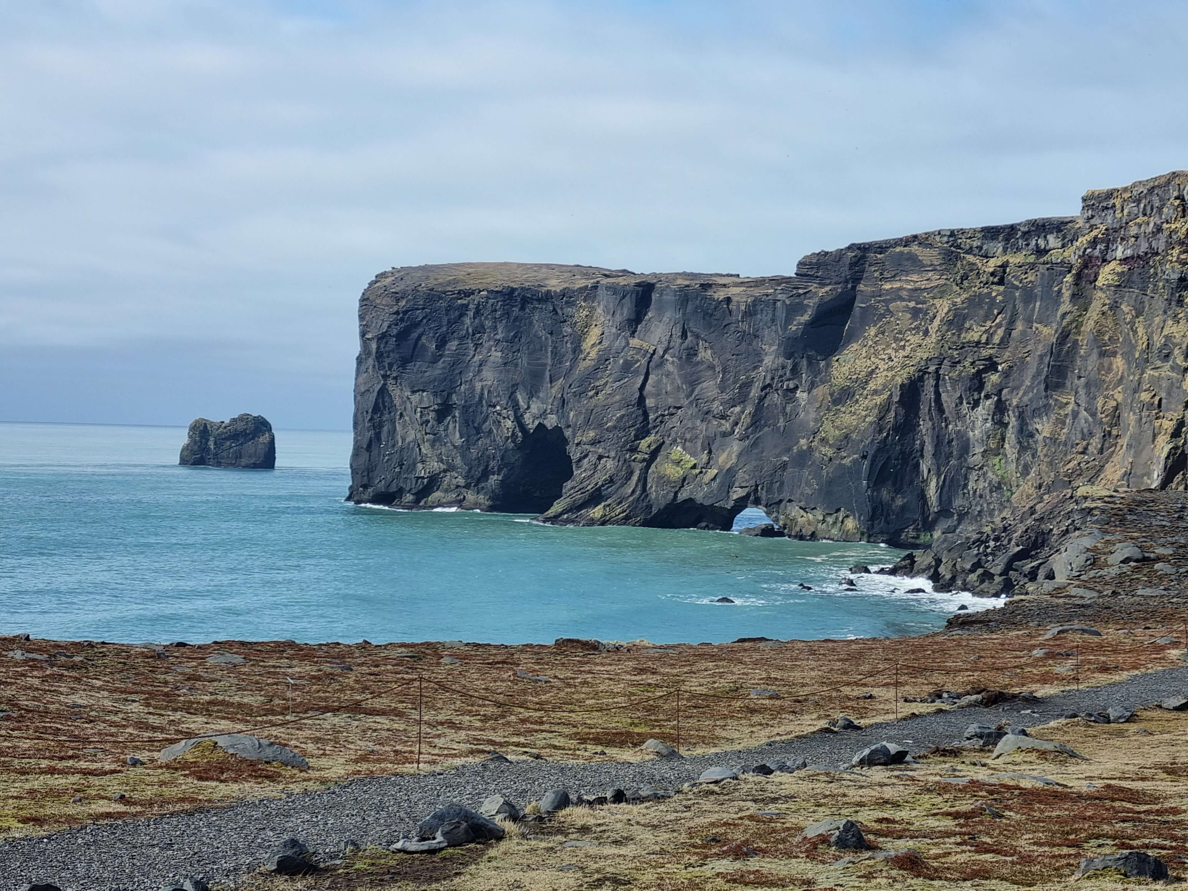
Dyrhólaey, which is a tuya formed in a submarine eruption during the last interglacial period. Dyrhólaey, which is not an island anymore but is still referred to as such, is mostly made from palagonite tuff but also from lava layers and intrusions. The island has been heavily eroded since its formation and through that process the sea stacks and arches have been formed along with the steep sea cliffs. The sea stacks are made from harder rock that can resist the erosion better and stand now alone in the sea as the testament of the former size of the island.
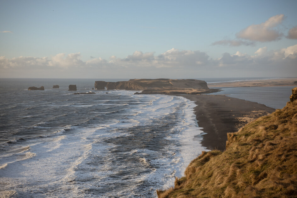
Dyrhólaey is mostly known for the beautiful arch on the small peninsula and gives the island its name. The arch was formed due to erosion to the peninsula and another smaller arch has formed behind the bigger one. Eventually the arch will collapse, and a new sea stack will be formed then. Dyrhólaey splits into Lágey (low island) and Háey (high island) with a nice hiking trail between the two parts.
The view there is magnificent and during the summer time you can see puffins and other birds there as well. Dyrhólaey is an important bird nesting site and the area has been protected since 1978.
Celebrating Earth Heritage
How to visit the Katla Geopark
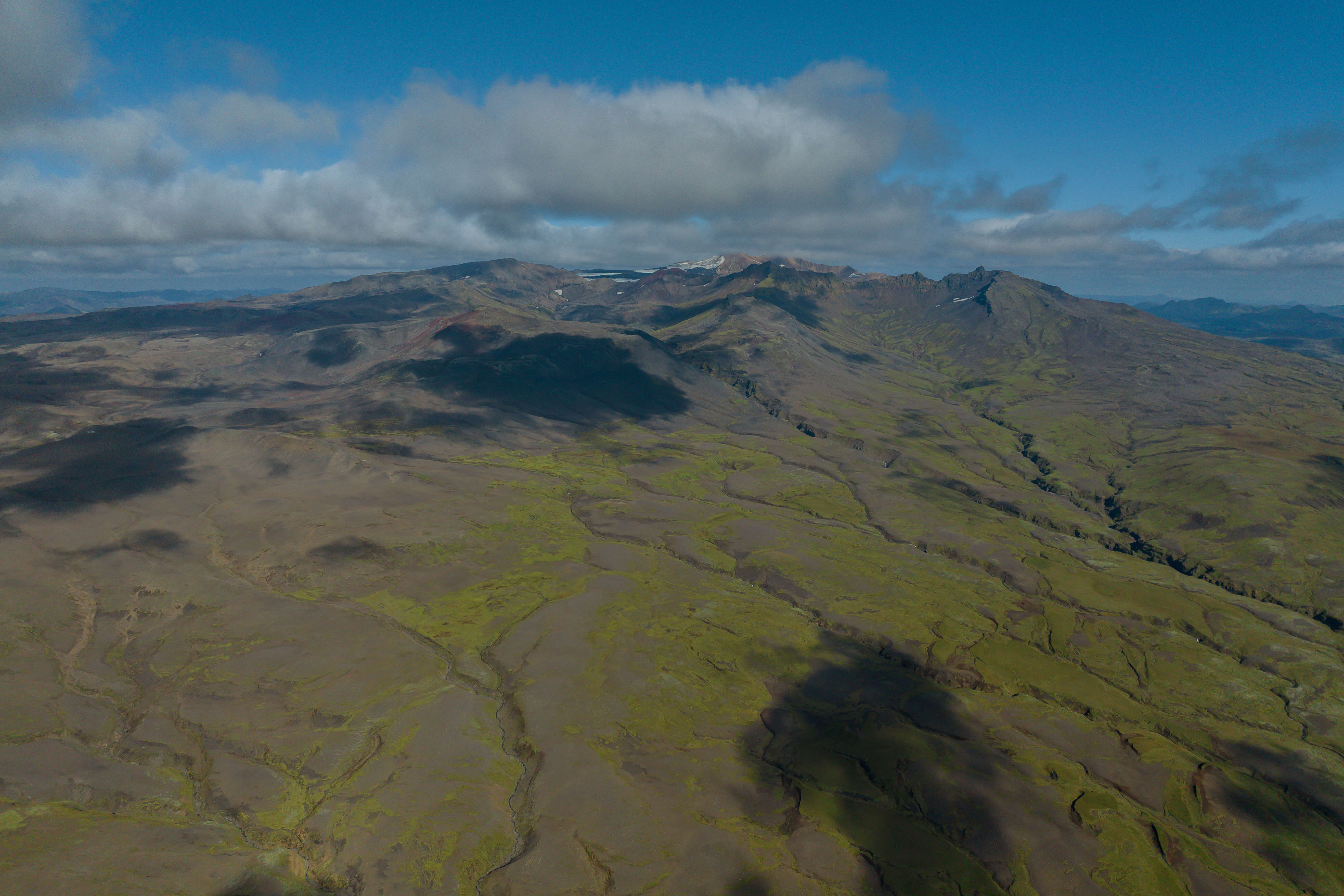
Katla UNESCO Global Geopark is in central South Iceland