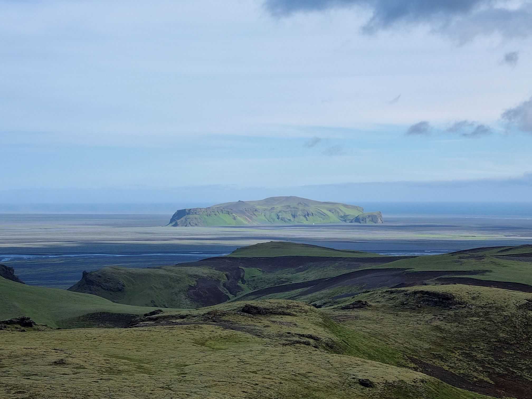
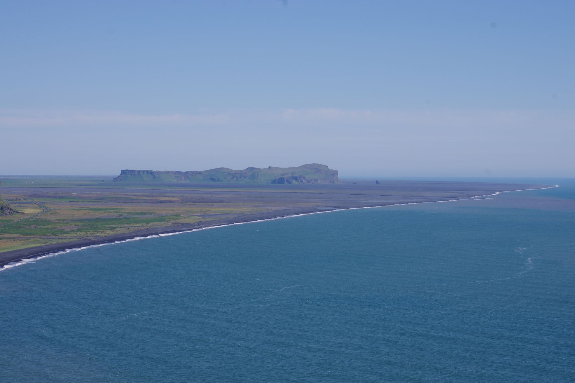
221 meter high tuya on the southern part of the Mýrdalssandur sand plain
Hjörleifshöfði
Hjörleifshöfði or „Hjörleifur´s Headland“ is a 221 m tuff rock promontory in the southwestern part of Mýrdalssandur, formed in the latter part of the Last ice age, by an eruption under the glacier.
Celebrating Earth Heritage
How to visit the Katla Geopark
Katla UNESCO Global Geopark is in central South Iceland