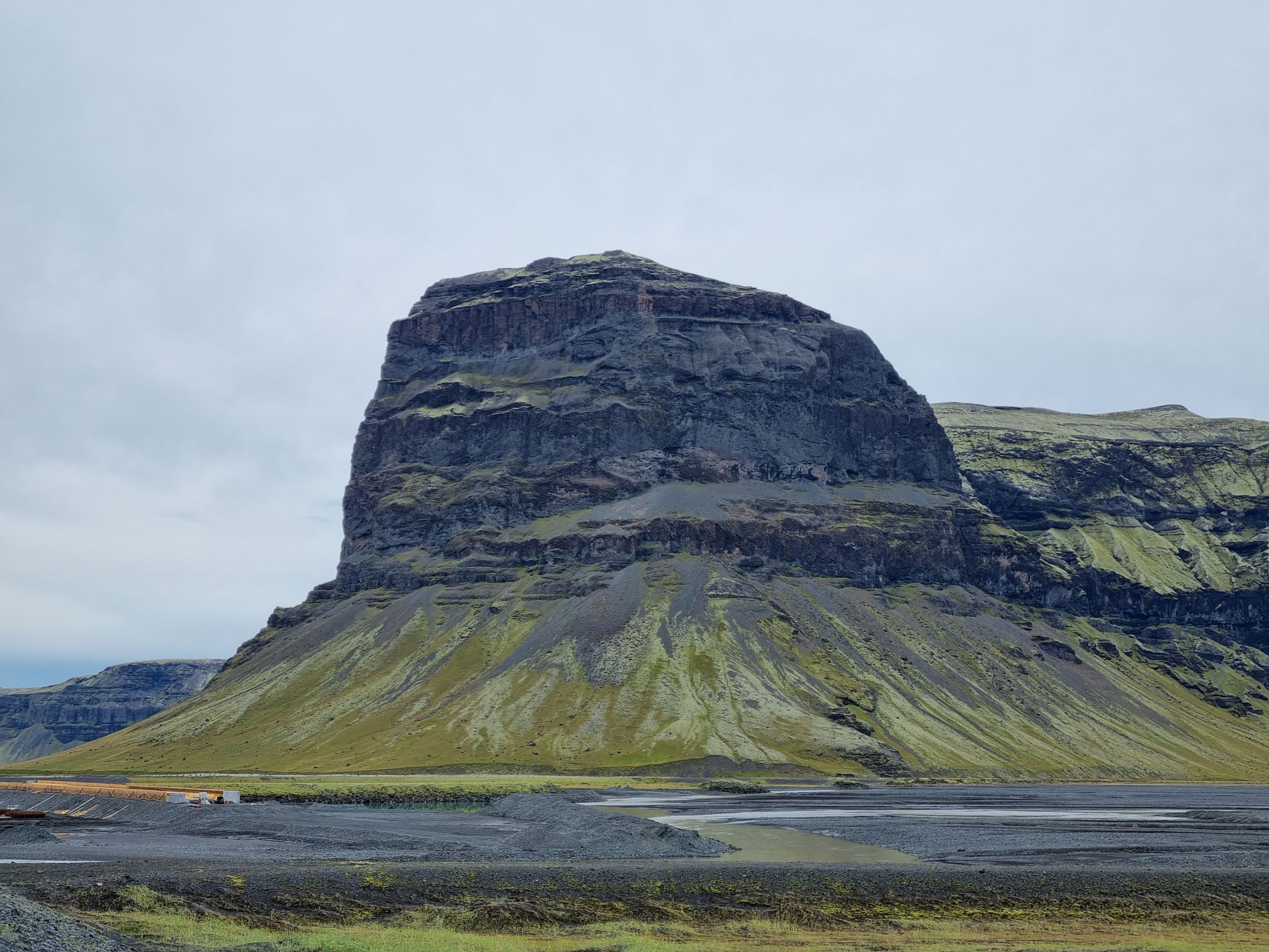
Lómagnúpur
Mt. Lómagnúpur rises high over the surrounding area of Núpsvötn, with the Skeiðarársandur sand plan in front of it, with the western part of Vatnajökull glacier behind it and the outlet glacier Skeiðarárjökull on its flank. The highest point of the mountain is 764 meters, with the forefront of the mountain, which is called Lómagnúpsnef, at 671 meters.
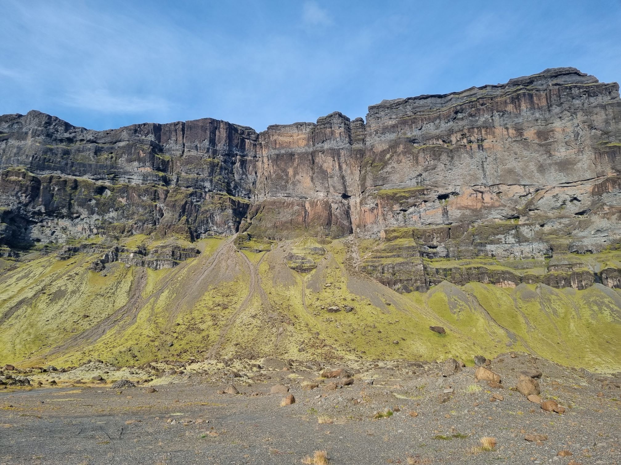
Mt. Lómagnúpur is a part of a larger mountain range called Björninn, but the volcano or volcanos that built up that range are no longer active. The rock layers at the bottom of the mountain are about 2.5 million years old, while the top part is about 1 million years old.
The mountain was therefore mostly formed by volcanic eruptions under the Ice age glacier, where thick palagonite- and blocky lava layers were formed during glacial periods and lava fields during interglacial periods, creating a beautiful stratigraphy that is exposed at the forefront of the mountain. Several rockslides have occurred from the mountain, with the largest one coming from the western side. It is believed to have fallen in July 1789 and is called “Hlaupið”.
Celebrating Earth Heritage
How to visit the Katla Geopark
Katla UNESCO Global Geopark is in central South Iceland