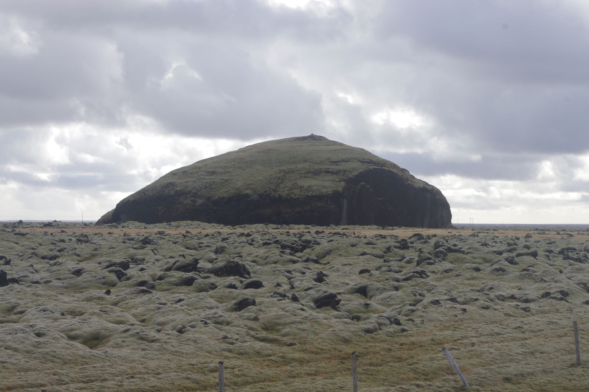
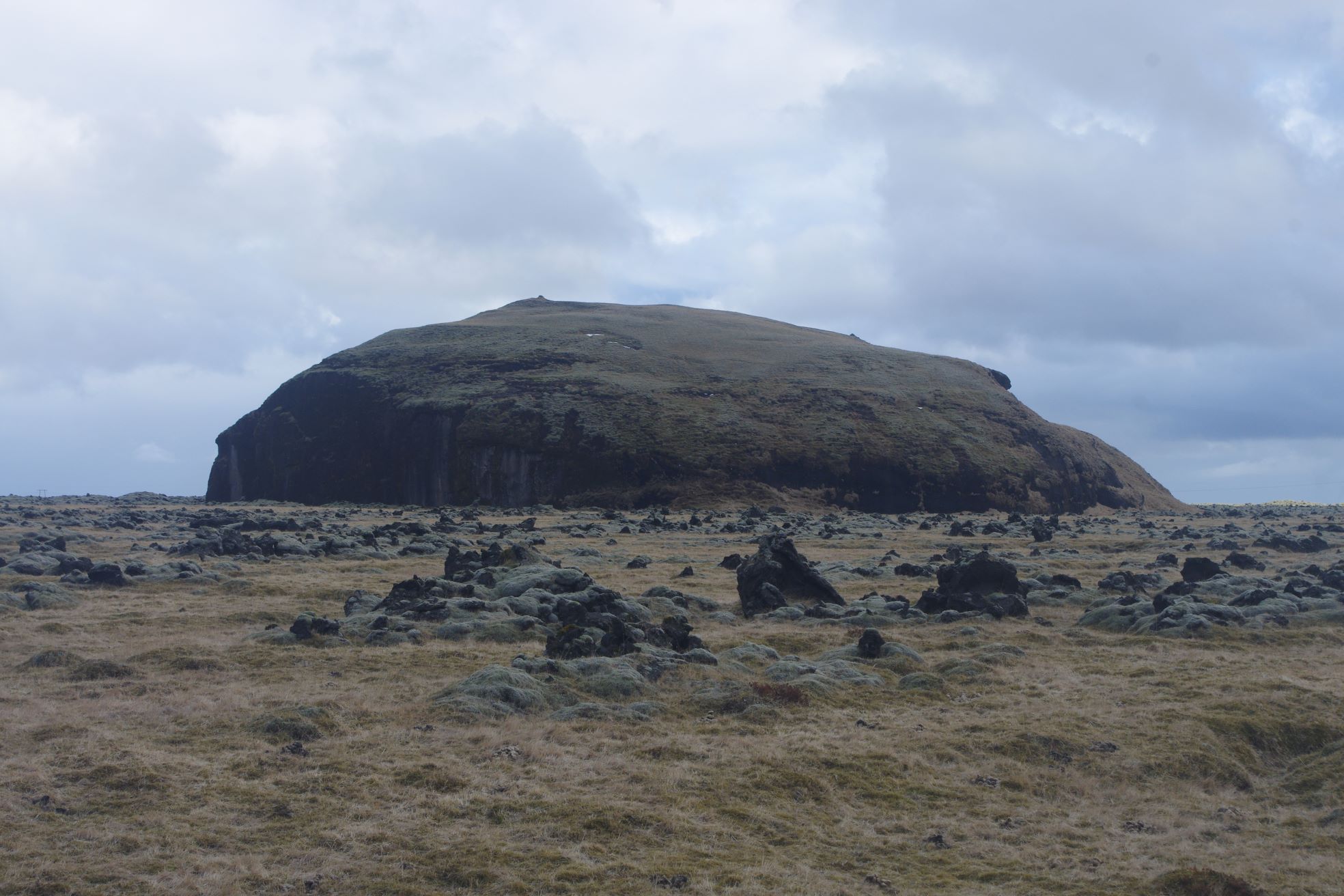
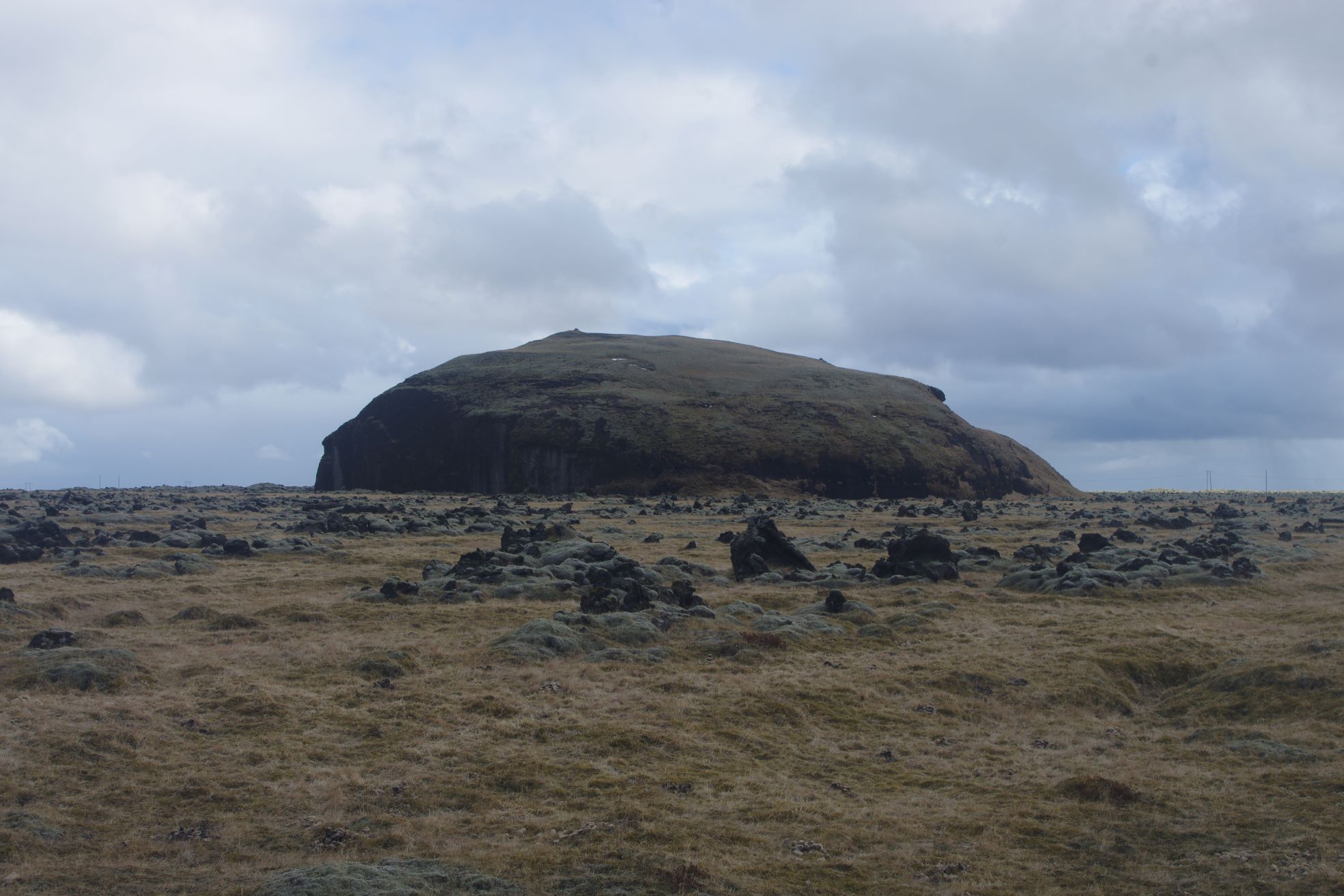
Orustuhóll was an islet in the middle of Hverfisfljót River
Orustuhóll
Orustuhóll is a moss-covered islet that rises above the lava field of Eldhraun, east of the waterfall at the farm Síða, and just south of Road 1.
Before the Lakagígar eruption of 1783-1784, Orustuhóll was surrounded by water and sand, as it was in the floodplain of Hverfisfljót river. Eldhraun lava field, or Brunahraun lava field as this part of the field is normally called, now surrounds the islet. The view from the top of the islet is very good, even though it doesn’t look to rise high up from its surroundings, but the vantage point there is very good with views in all directions.
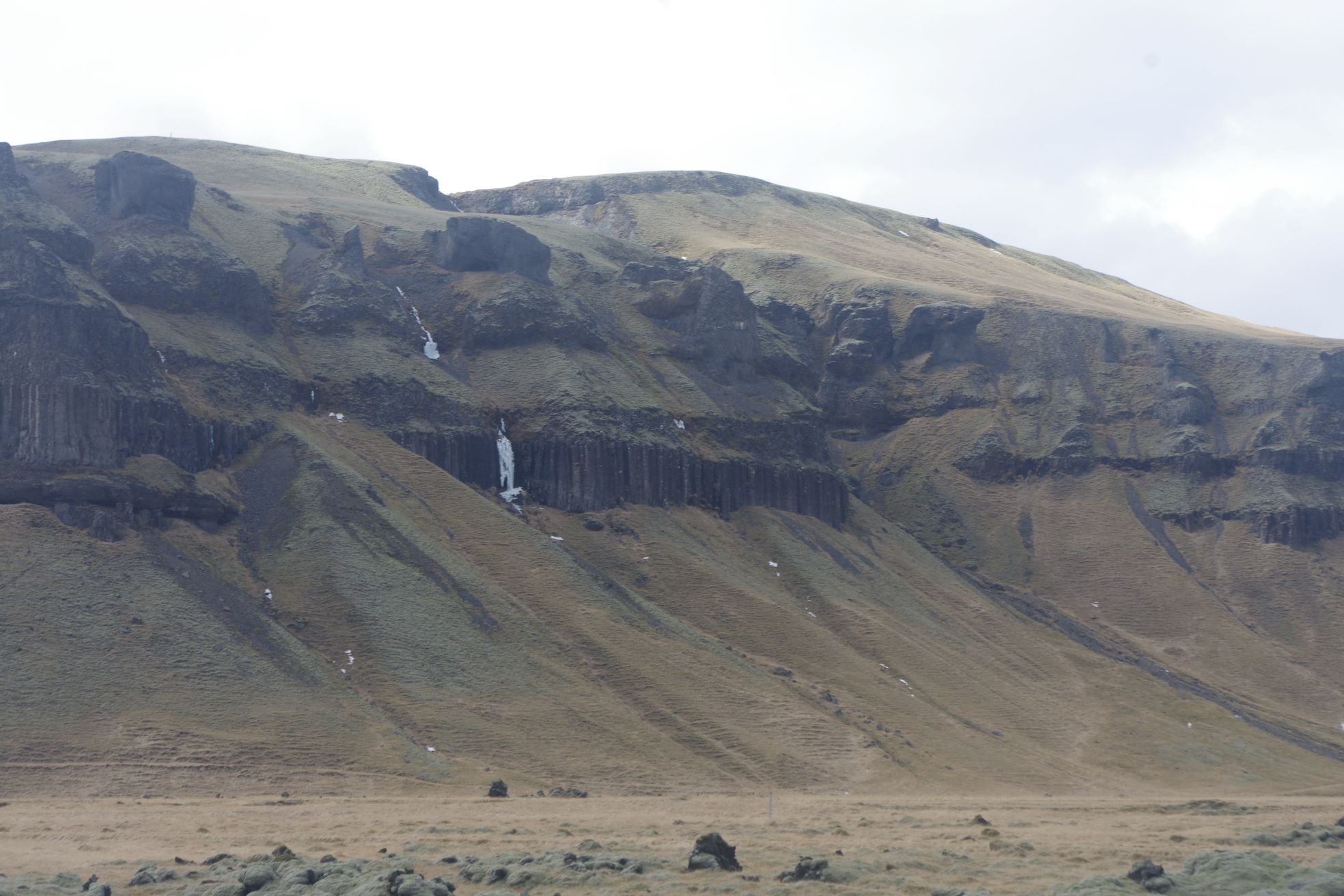
The walk up to Orustuhóll is easy from the south and a sheep path runs along it on its western side. Beautiful streams and diverse bird life are in the area and there are also several other geosites nearby, for example the waterfall next to the farm Síða, Dverghamrar rock formations, and Mt. Lómagnúpur, and then of course the town of Kirkjubæjarklaustur is not far away where you can find nice restaurants, hotels, and other services.
Note: The Google Map Link below is to the closest parking lot (waterfall down the street) so you will need to park and walk to see this historical place.
Celebrating Earth Heritage
How to visit the Katla Geopark
Katla UNESCO Global Geopark is in central South Iceland