The glacier and volcano
Eyjafjallajökull
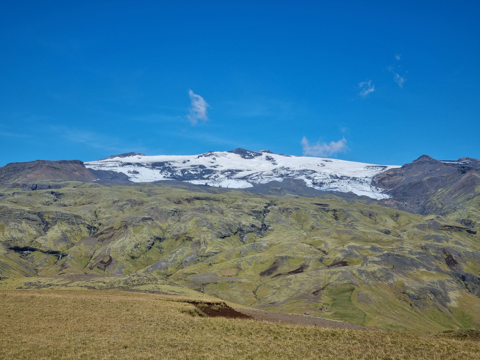
Eyjafjallajökull is the sixth largest glacier in Iceland, after Vatnajökull, Langjökull, Hofsjökull and Mýrdalsjökul. Two outlet glaciers, Steinholtsjökull and Gígjökull descent from the main glacier and are moving northward towards Þórsmörk.
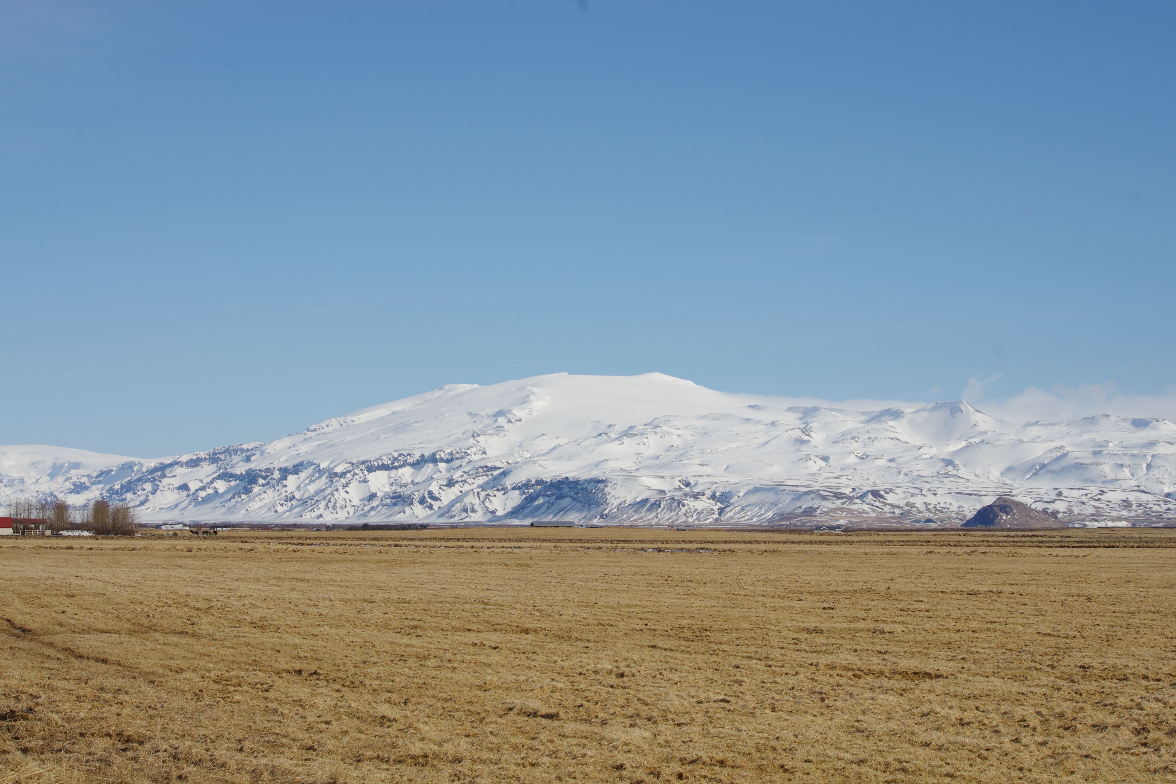
The glacier is an ice cap covering the mountains of Eyjafjöll, the highest point 1666 metres above sea level and covers about 80 square kilometres of terrain.
The Eyjafjöll volcanic system is a stratovolcano with well developed 2,5 km wide caldera at the top. The complex is covered by an ice cap above 1.000 m altitude and the highest point was at 1.666 m a.s.l. before the eruption 2010. Eruptions in Eyjafjallajökull are rare and relatively smaller than in Katla. Four eruptions in Eyjafjallajökull are known in historical times, in 920,1612, 1821-23 and 2010. Before the eruption in 2010 there had been earthquake swarms there in 1994 and 1999 and the volcano was therefore under a close watch as an eruptionunder the ice cap would cause immediate danger to farms in close proximity to the mountain. The first eruption, at Fimmvörðuháls an ice-free ridge between Eyjafjallajökull and Mýrdalsjökull, lasted from 20th March to 12th April 2010. This small eruption created the craters of Magni and Móði on the north side of Fimmvörðuháls, directly across the popular hiking trail between Skógar, south of the pass, and Þórsmörk, immediately to the north. The eruption produced limited amounts of basaltic lava and attracted a lot of attention from tourists that could get close to the spectacular lava fountains and lava streams.

Celebrating Earth Heritage
How to visit the Katla Geopark
Katla UNESCO Global Geopark is in central South Iceland