Hiking Above Vík
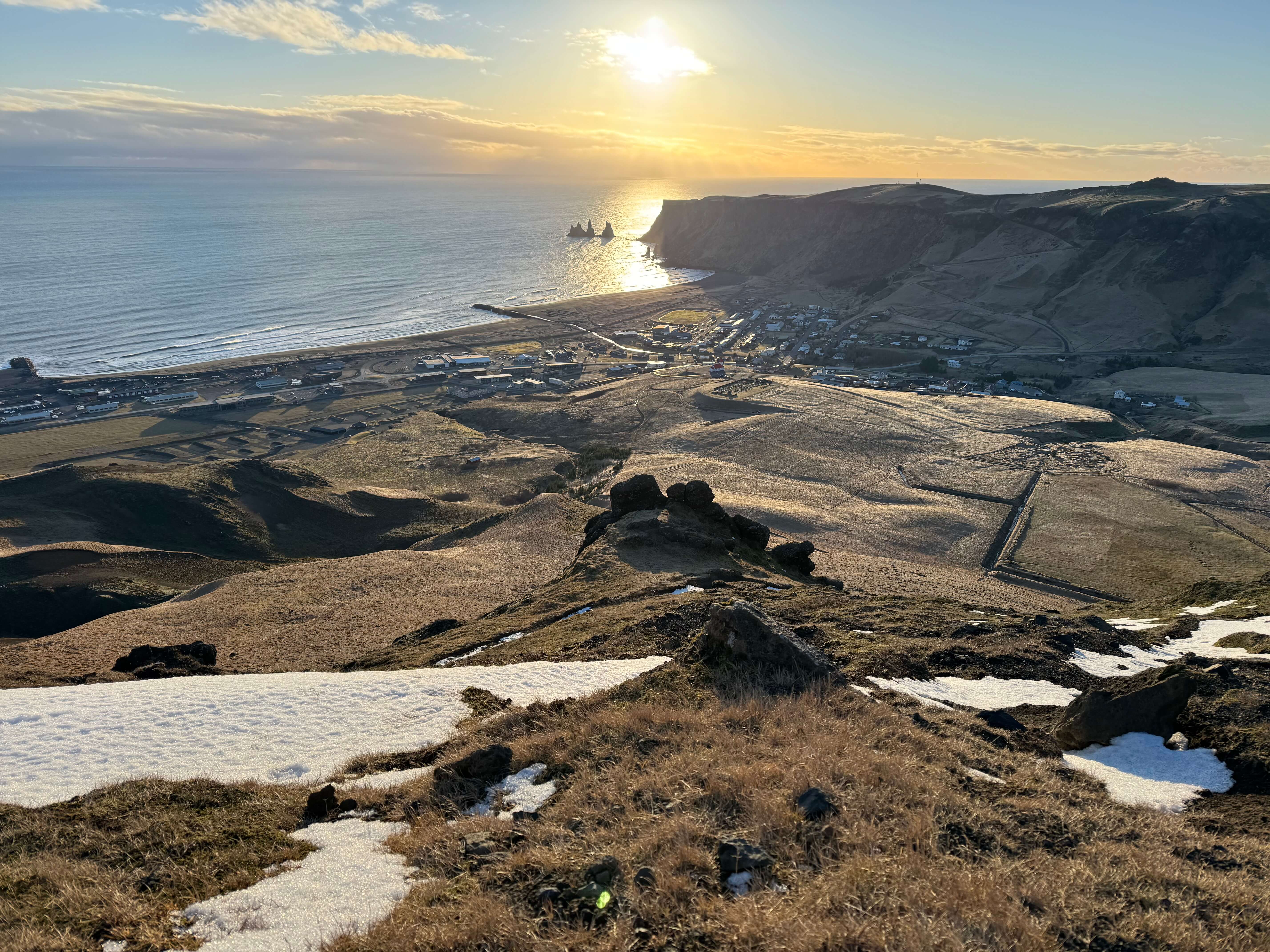
Hatta Mountain
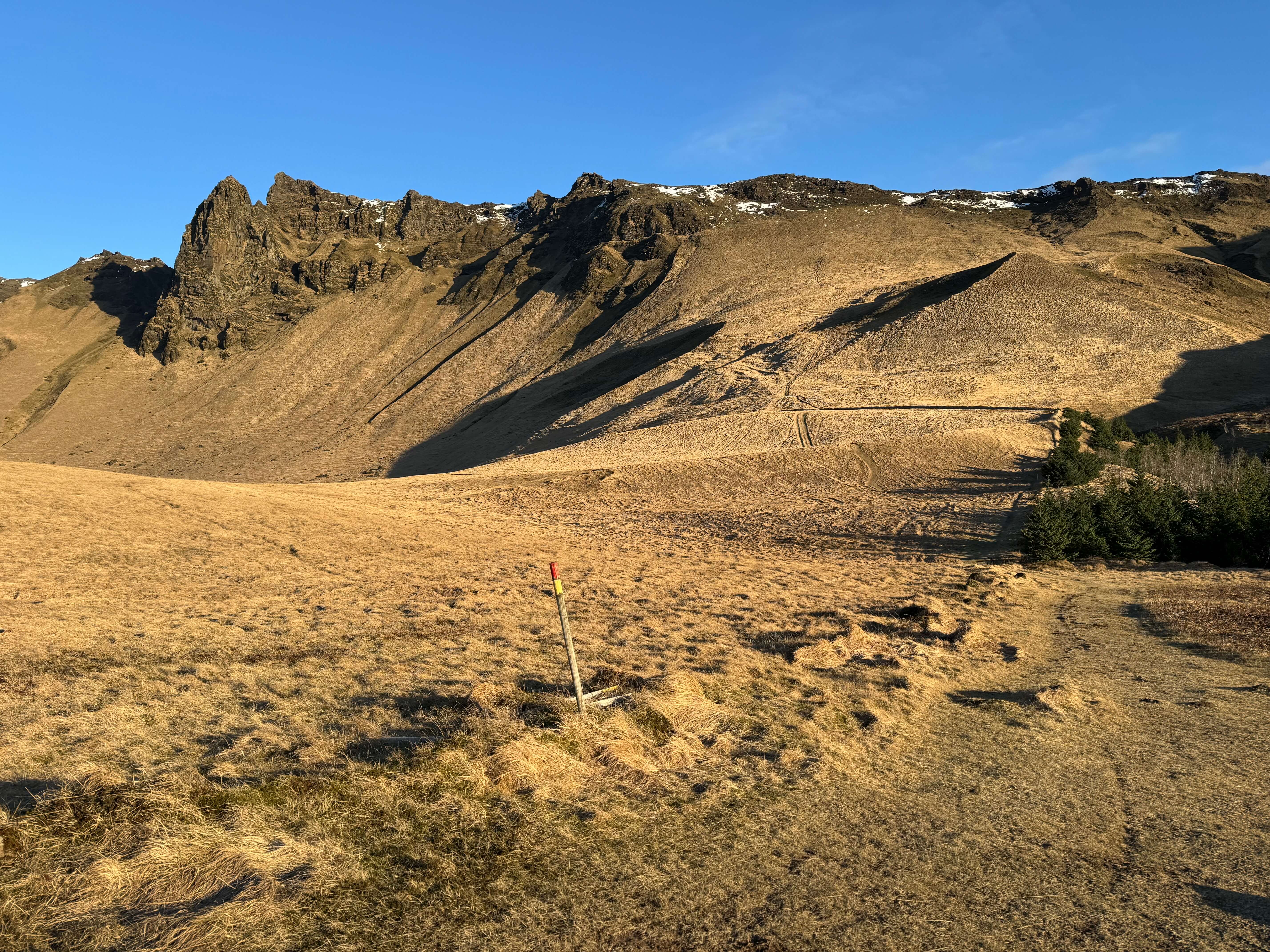
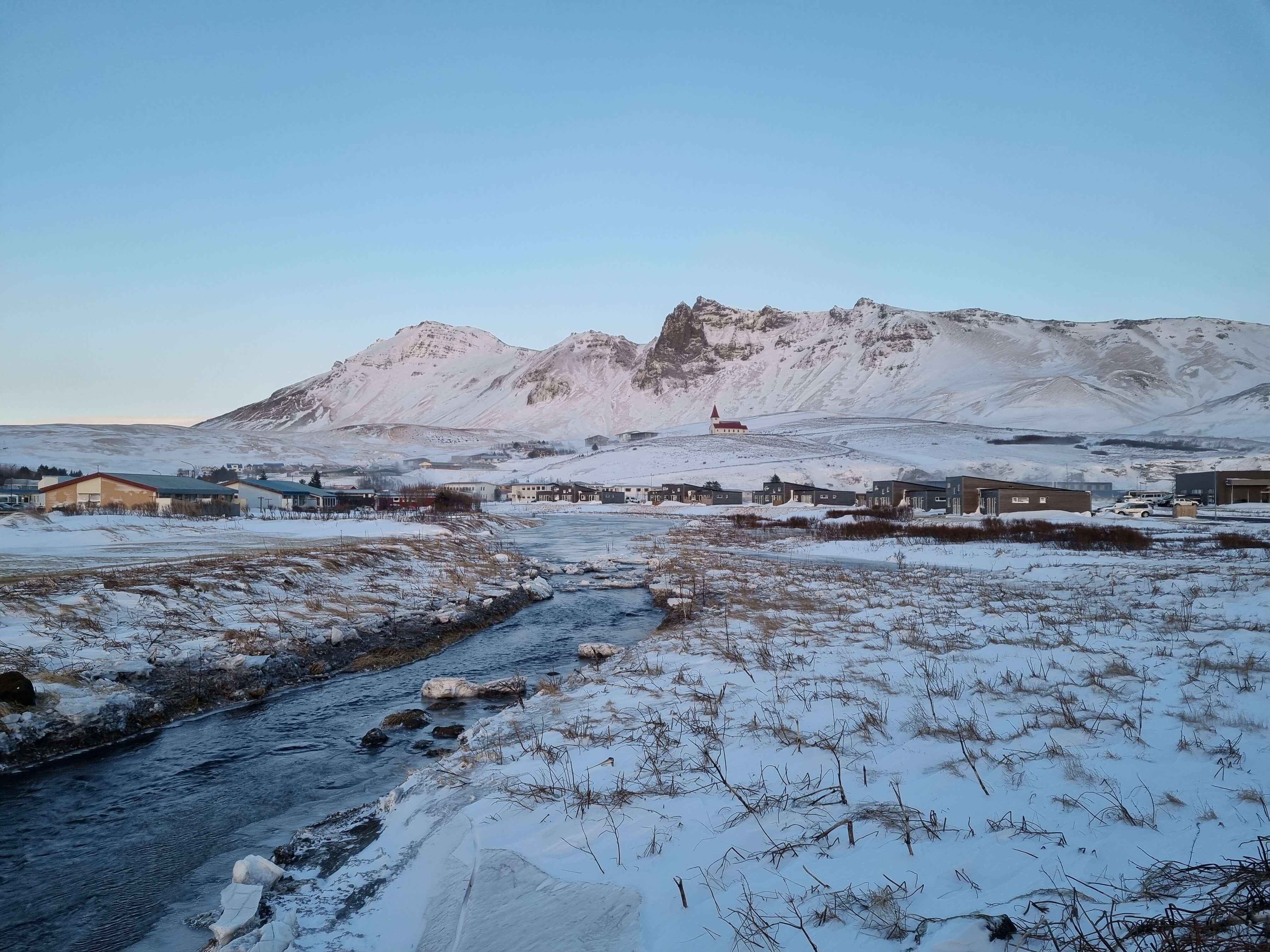
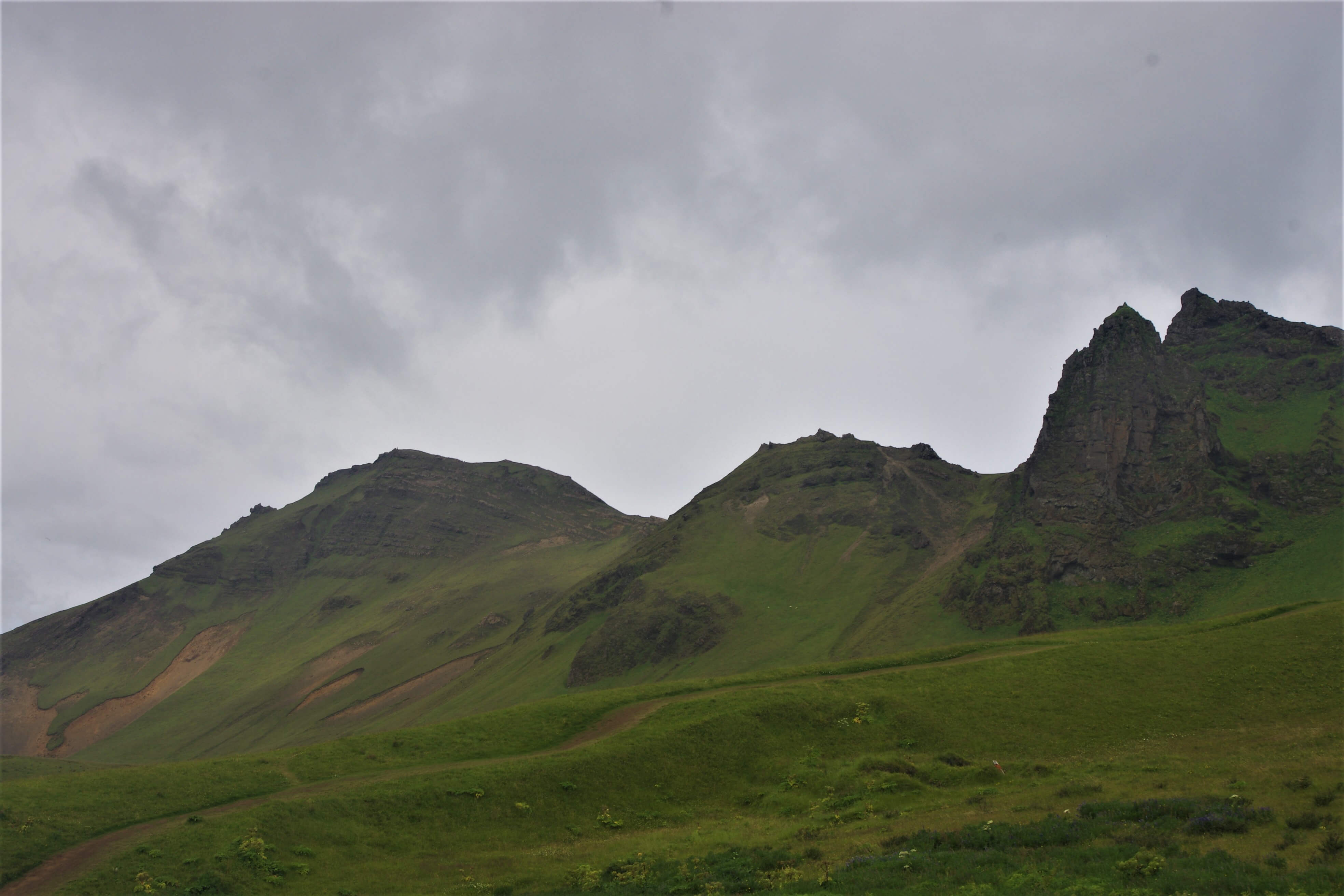
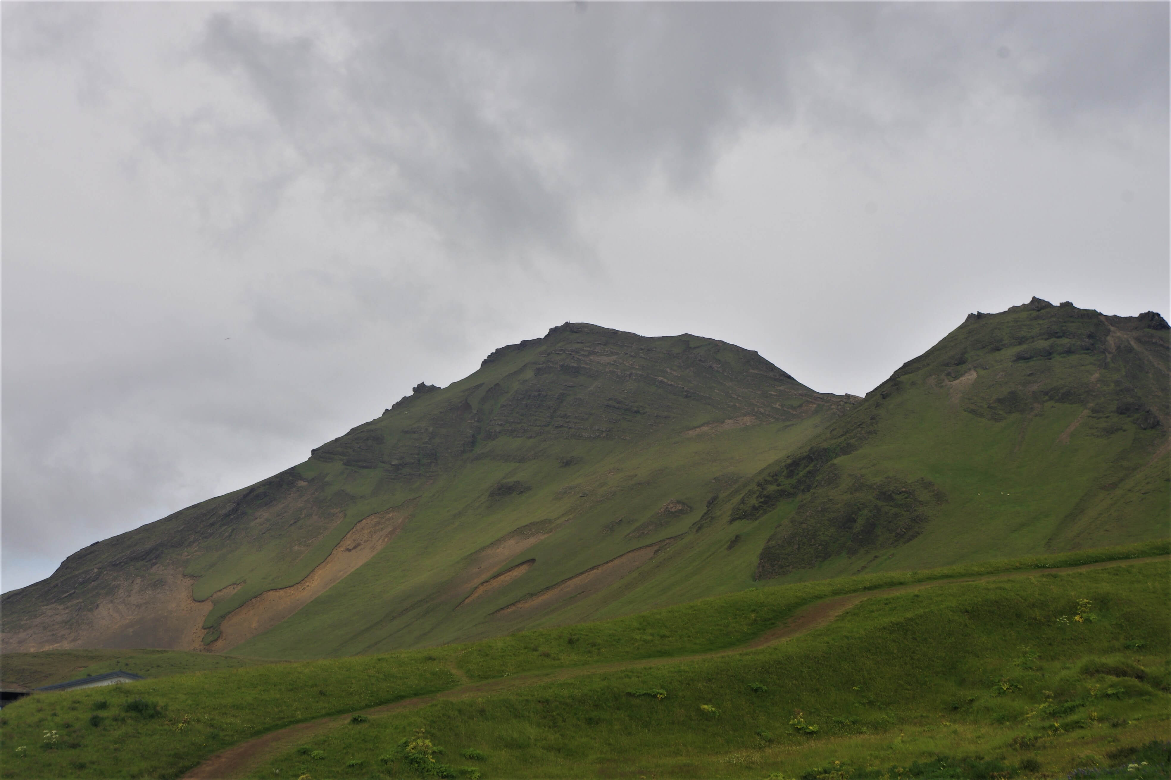
Mt. Hatta, or just Hatta, is a beautiful palagonite/tuff mountain, or rather a peak, rising from the high plateau of Víkurheiði.
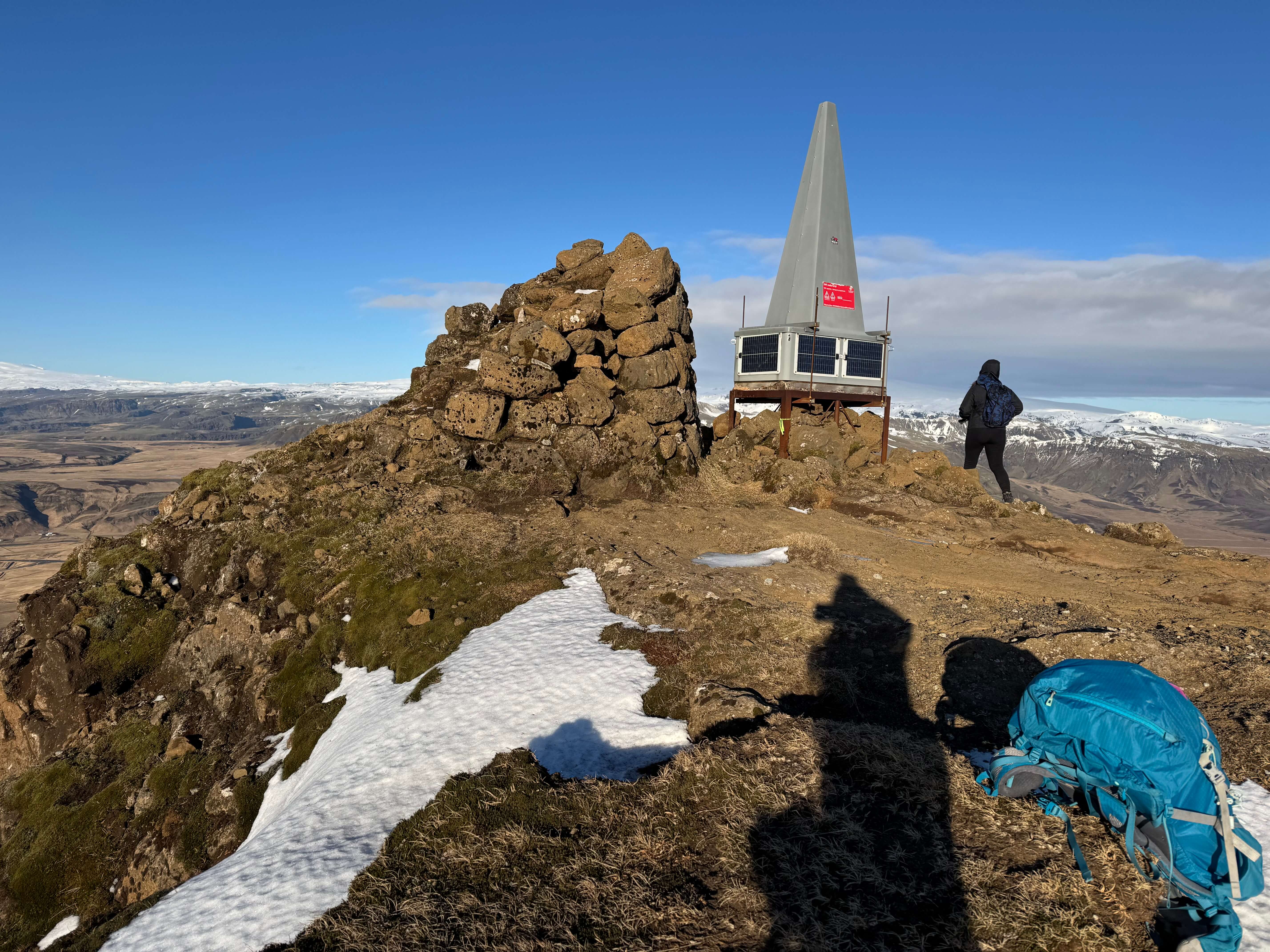
Hatta is about 504-512 m.a.s.l. and is the highest mountain around the town of Vík and offers spectacular views. The mountain is probably relatively young on the geological timescale, having most likely been formed during either the last or the second to last interglacial periods of the ice age, and is, like most if not all mountains within the municipality of Mýrdalshreppur, part of the Icelandic móberg (palagonite) formation and was formed in an eruption from the Katla volcanic system.
At the top of Hatta, beautiful stratified palagonite can be seen as well as some palagonite breccia, while the lower part is covered by a scree (talus) and vegetation. Hatta has been eroded by glaciers and it is a possibility that Hatta was once a nunatak, piercing through the retreating ice age glacier.
A lovely hiking path leads you to the top of the mountain but is not for everyone as the path is quite steep at times.
Celebrating Earth Heritage
How to visit the Katla Geopark
Katla UNESCO Global Geopark is in central South Iceland