Fögrufjöll, Skuggafjöll & Grænifjallgarður
Langisjór
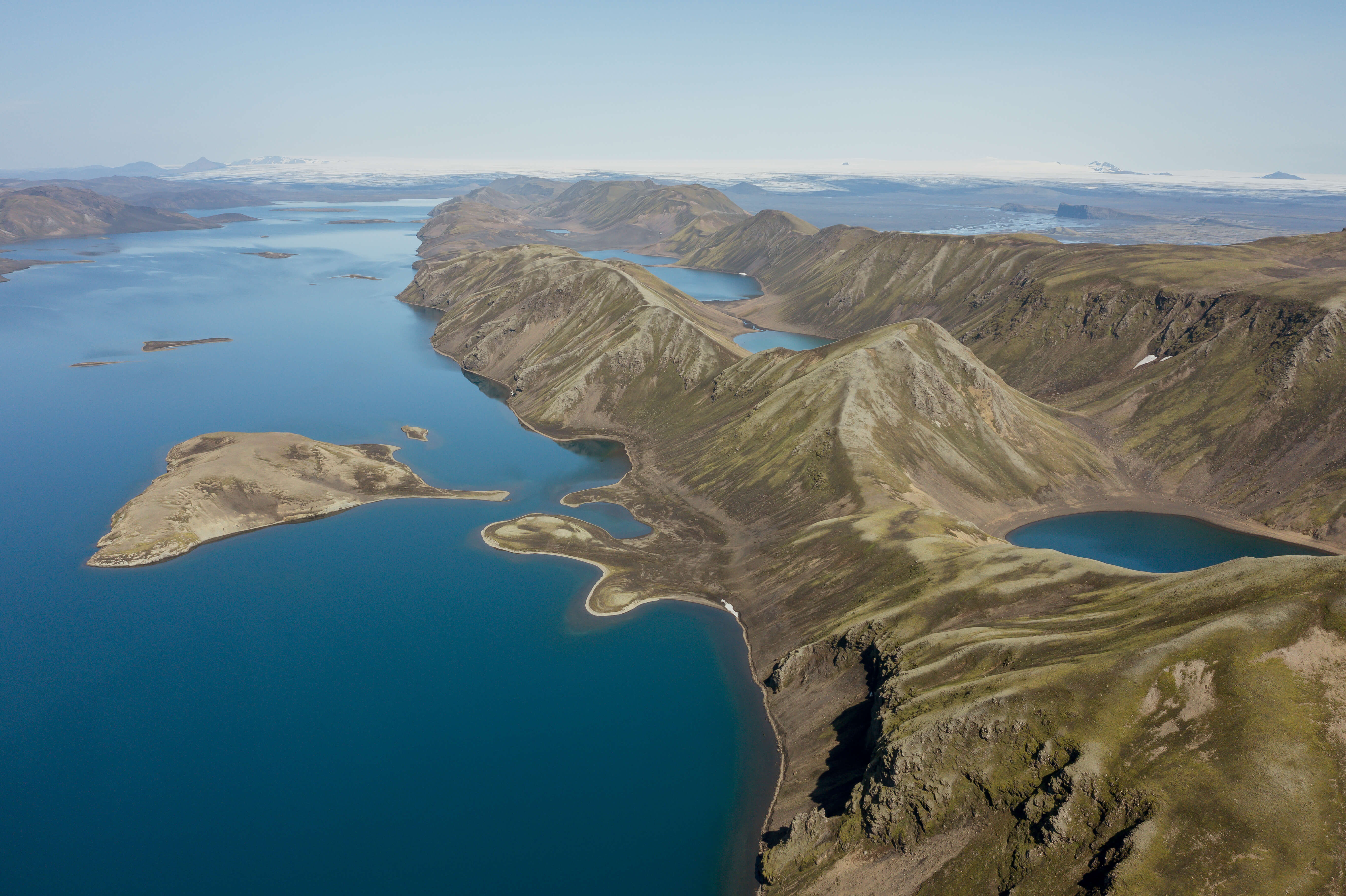
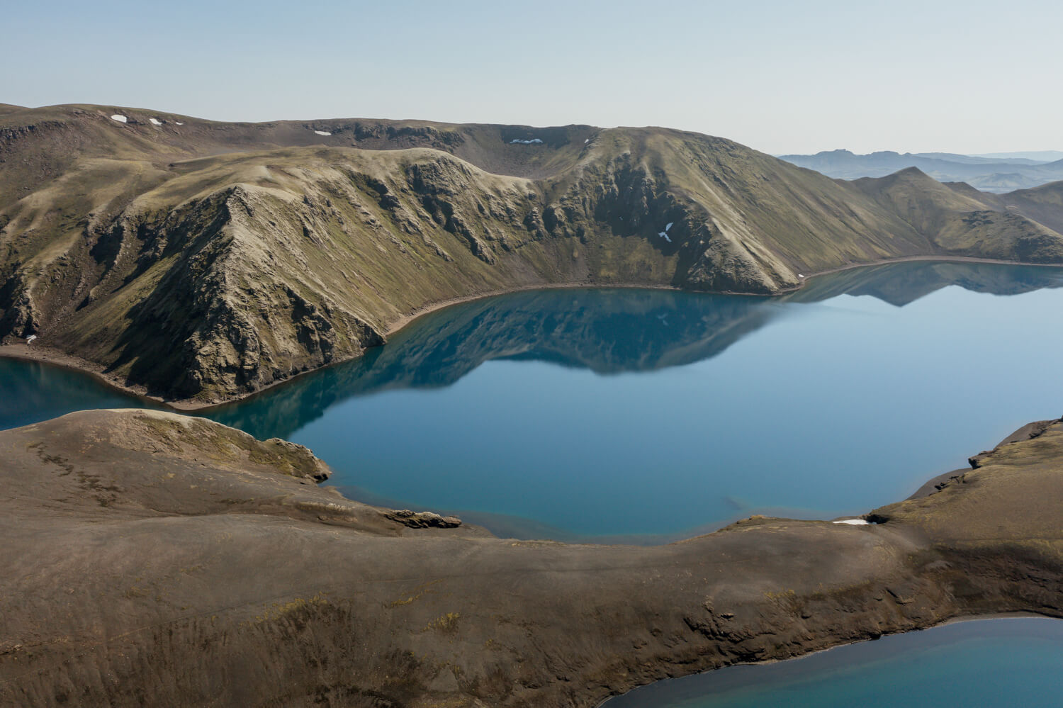
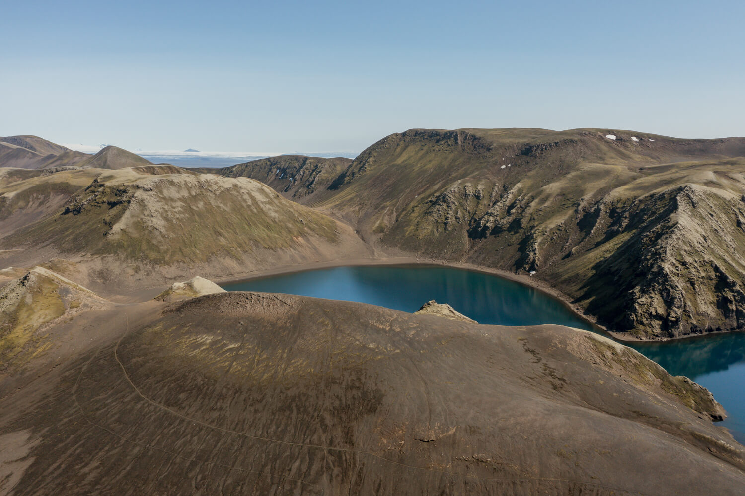
Several mountain ridges are in the vicinity of Langisjór and Kattarhryggir, Grænifjallgarður, and Fögrufjöll are the most well known. These three mountain ranges are hyaloclastite ridges and are the subglacial equivalent of large fissure eruptions such as the Eldgjá and the Lakagígar eruptions.
The ridges all have a NE-SW direction and can be up to 44 km long. The bottom of the ridges is often made from pillow lava, with hyaloclastite forming the largest part of the ridges and sometimes lava can flow on the top of them if the eruption breaks through the glacier. The length of the ridges is normally more than double their width and tend to have rows of peaks at a semi-even interval, and therefore the Icelandic word “tindar”, meaning peaks, is often used to denote formations such as these ridges.
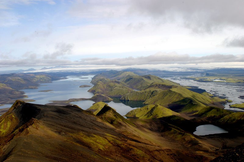
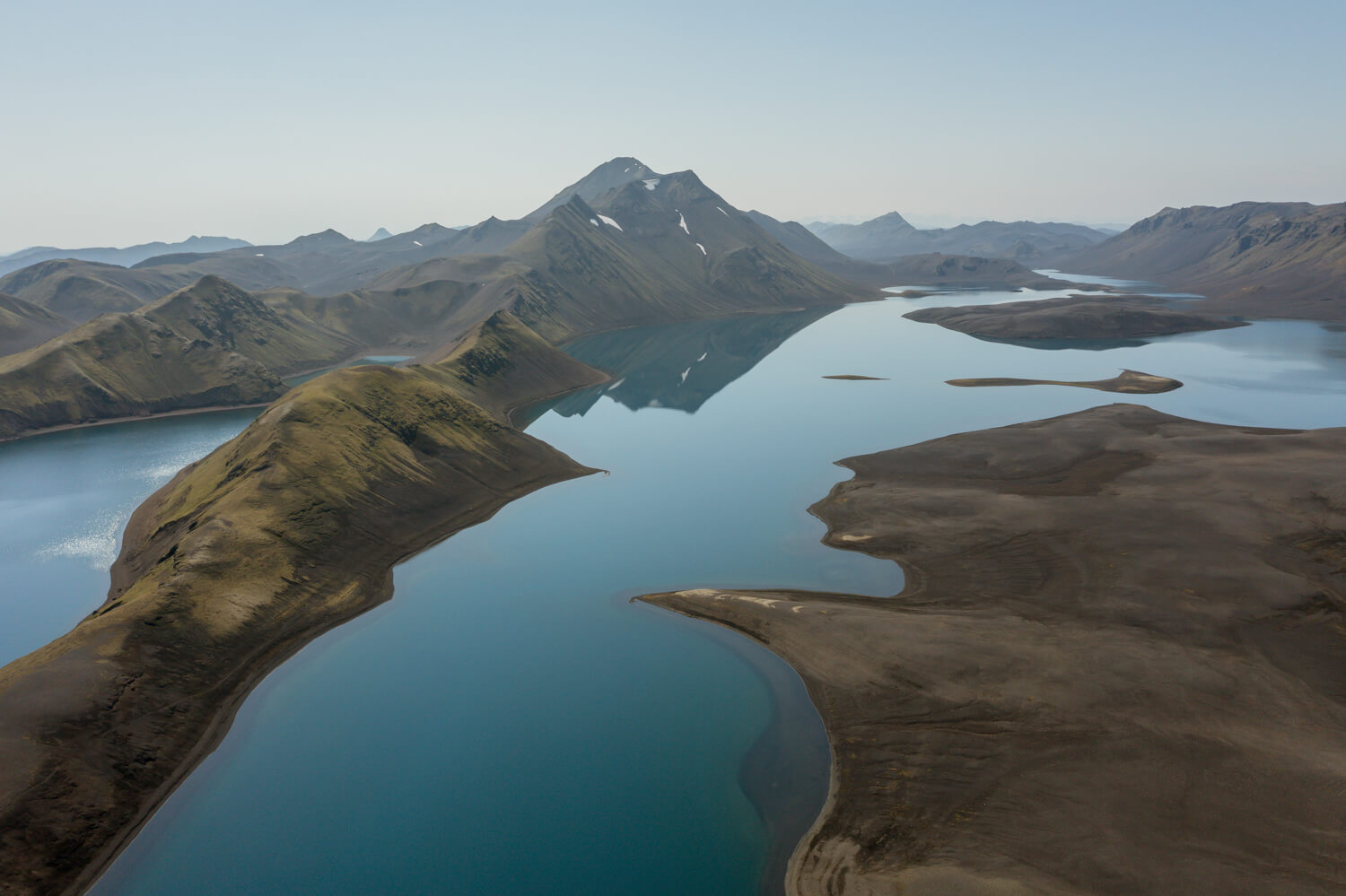
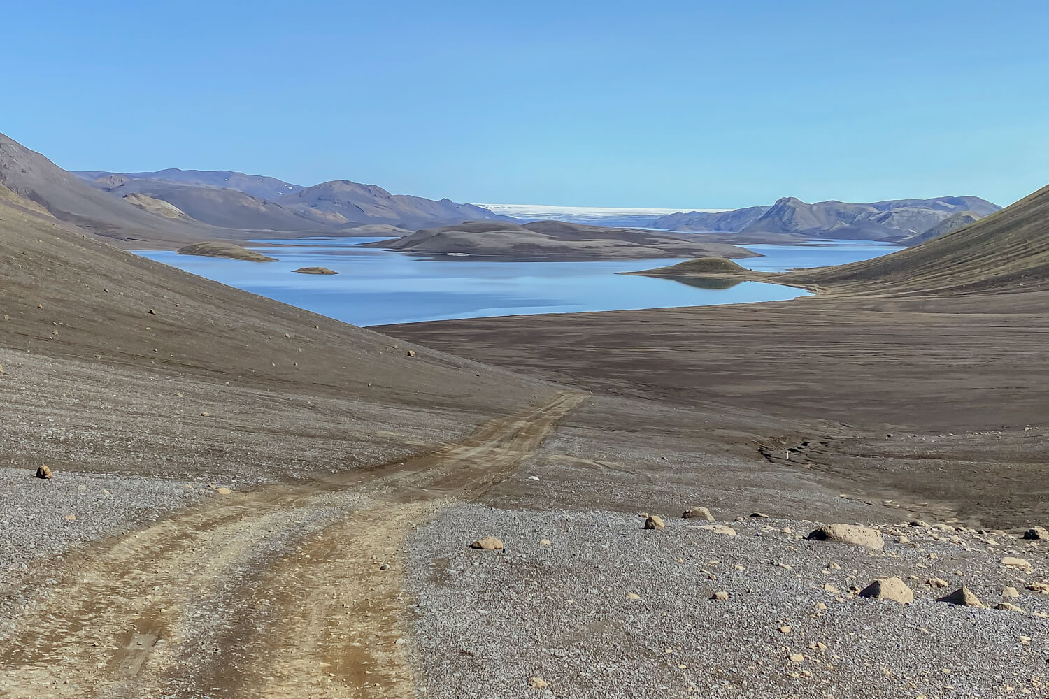
The photo shows the ridge of Fögrufjöll, with lake Langisjór on the left and Skaftá River on the right. Reynir Ragnarsson took the photo and the geopark would like to thank him for the photo.
Celebrating Earth Heritage
How to visit the Katla Geopark
Katla UNESCO Global Geopark is in central South Iceland