Höfðabrekka Farm + Þakgil Canyon: History & Hiking
Þakgil
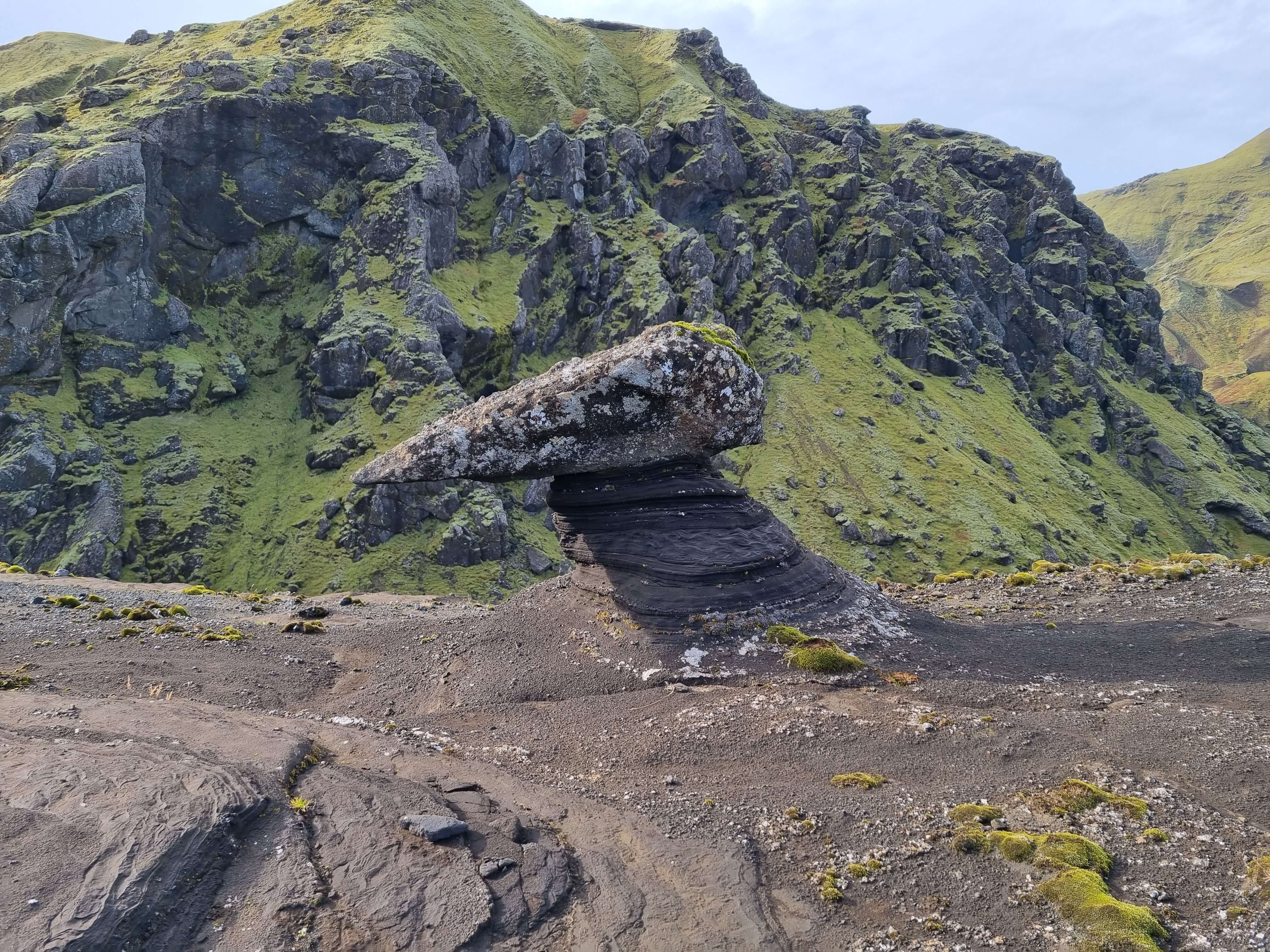
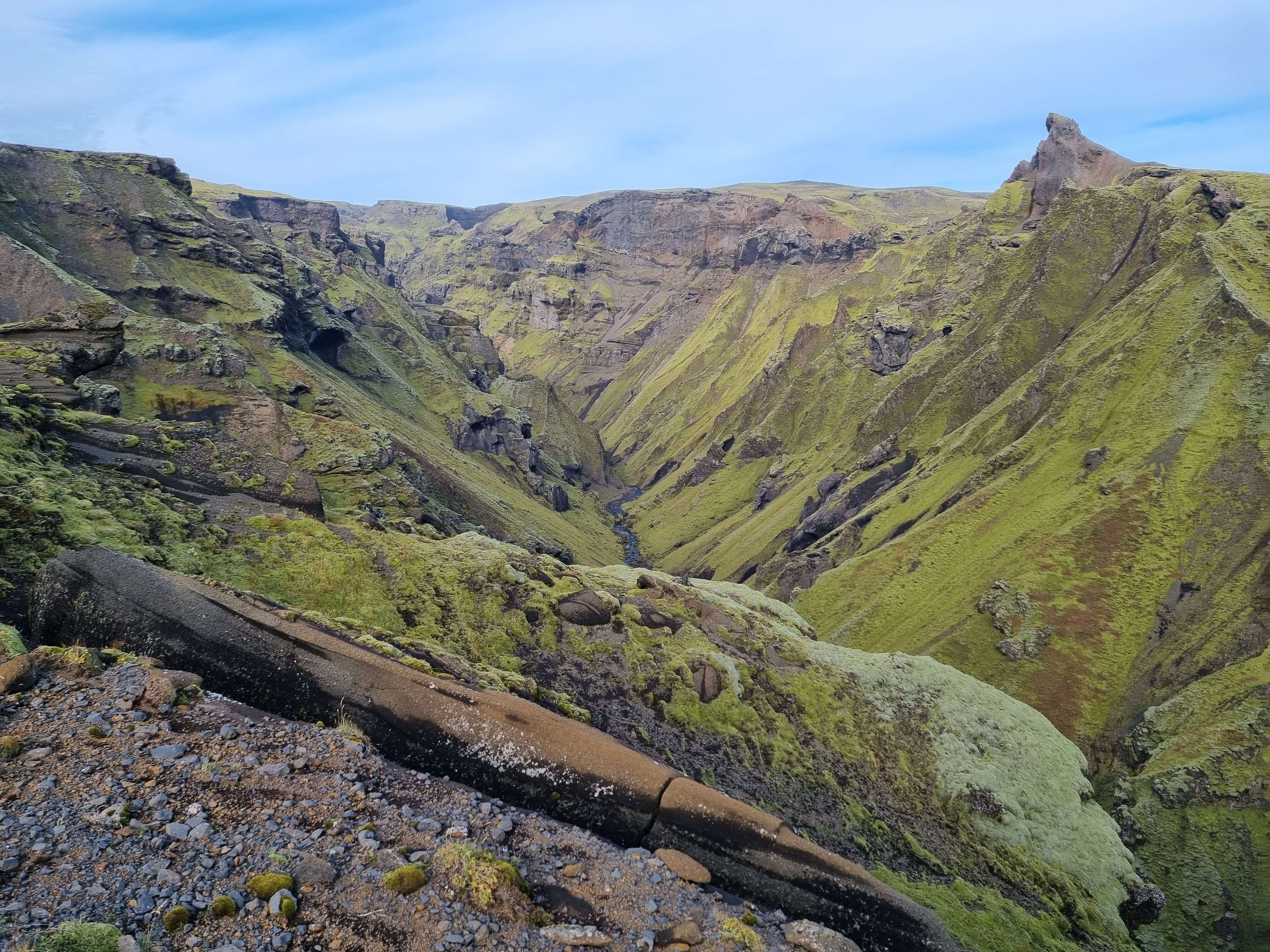
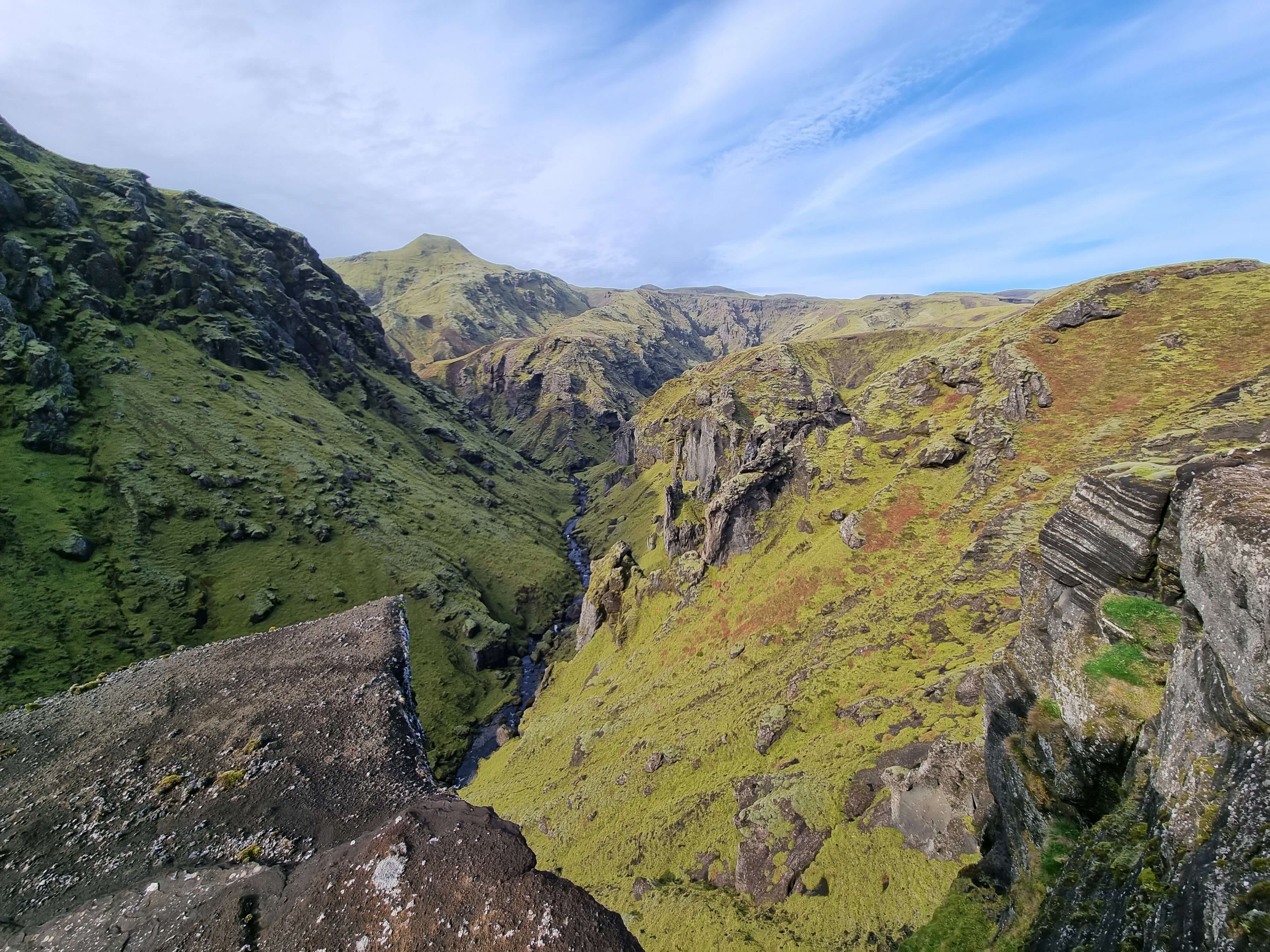
Höfðabrekka farm is the easternmost farm west of Mýrdalssandur sand plain. The farm is an old church site and used to be a large farm. During a glacial outburst flood from the 1660 eruption of Katla volcano, the farm was destroyed and after it moved up to the heath, where it stayed until 1964 when the farm was relocated back down to the lowland. Þakgil canyon is not far from Höfðabrekka farm and the landscape on the way to the canyon is breath-taking.
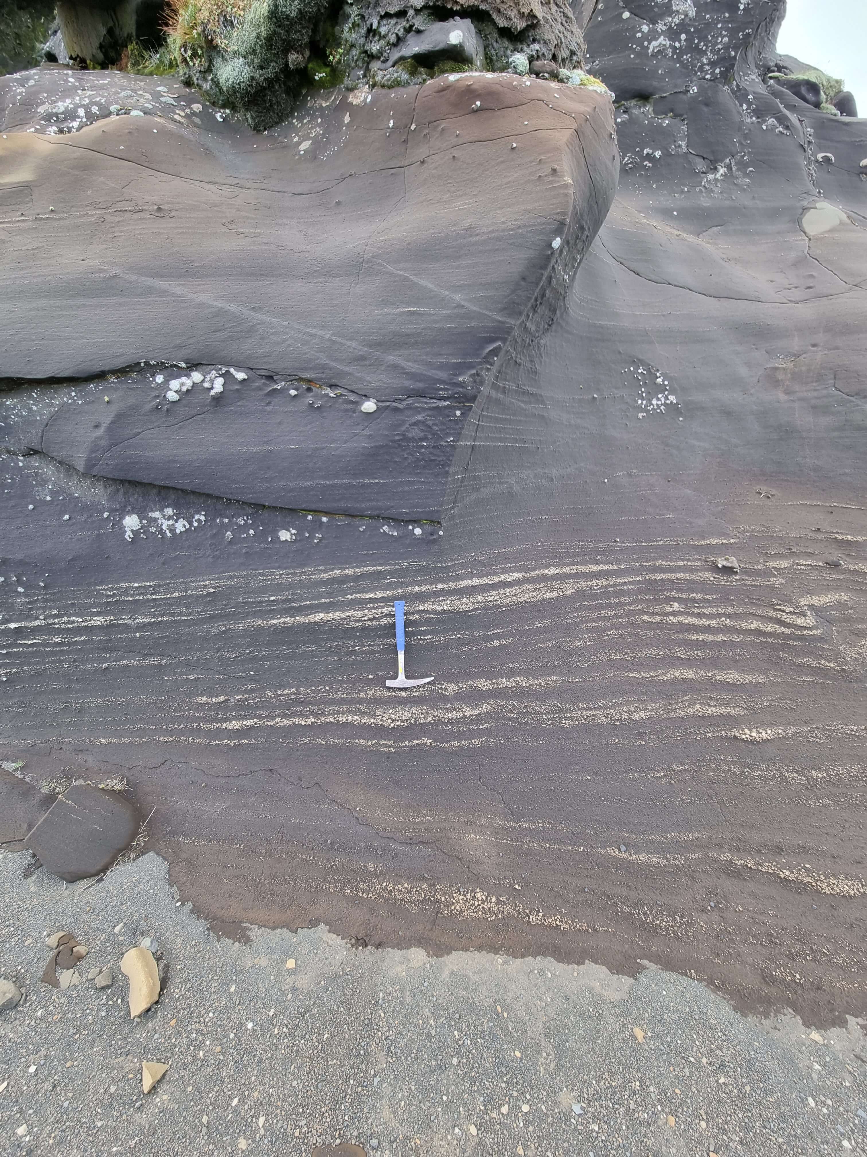
There is a lovely campsite in Þakgil and there are numerous hiking paths in the area. Hiking around the area is well worth it, as the view from there is beautiful and a lot of different geological formations. The area is open during the summertime and then the road is normally accessible for all cars.
The road leading to Þakgil was the main road (Road 1) for about 20 years, until a glacial outburst flood in 1955 washed parts of it away and subsequently a new bridge over Múlakvísl river was built on the present main road. Information about the campsite can be found on www.thakgil.is/?lang=en
Celebrating Earth Heritage
How to visit the Katla Geopark
Katla UNESCO Global Geopark is in central South Iceland