Tindfjöll is a mountain range with many peaks
Tindfjallajökull & Tindfjöll
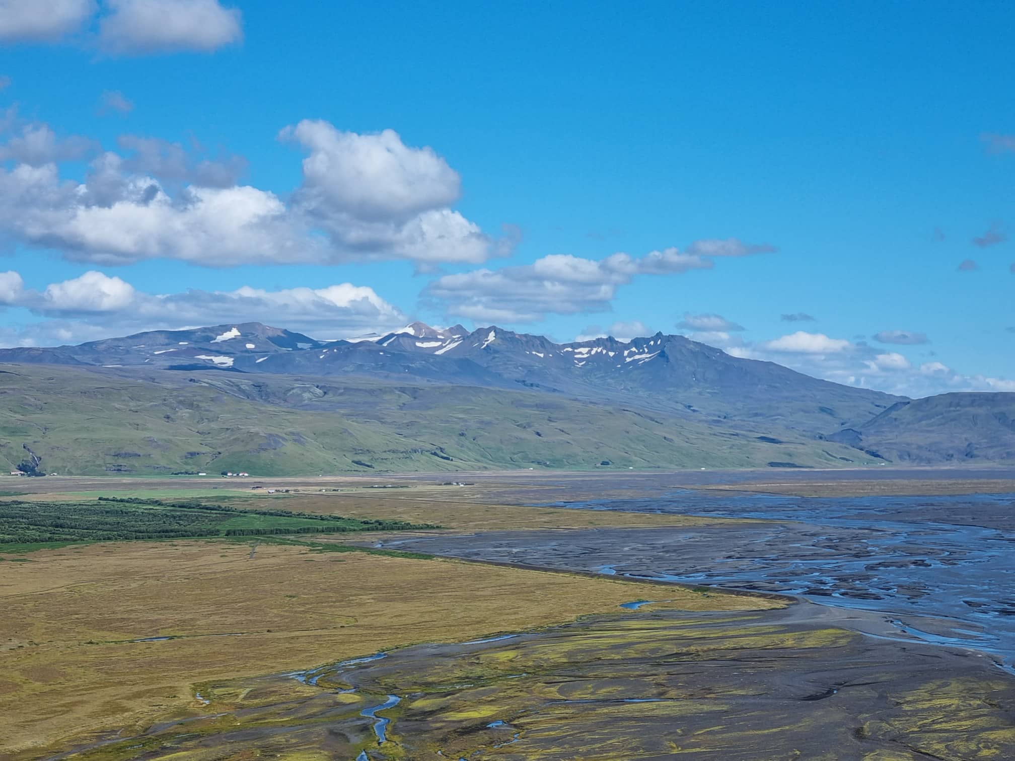
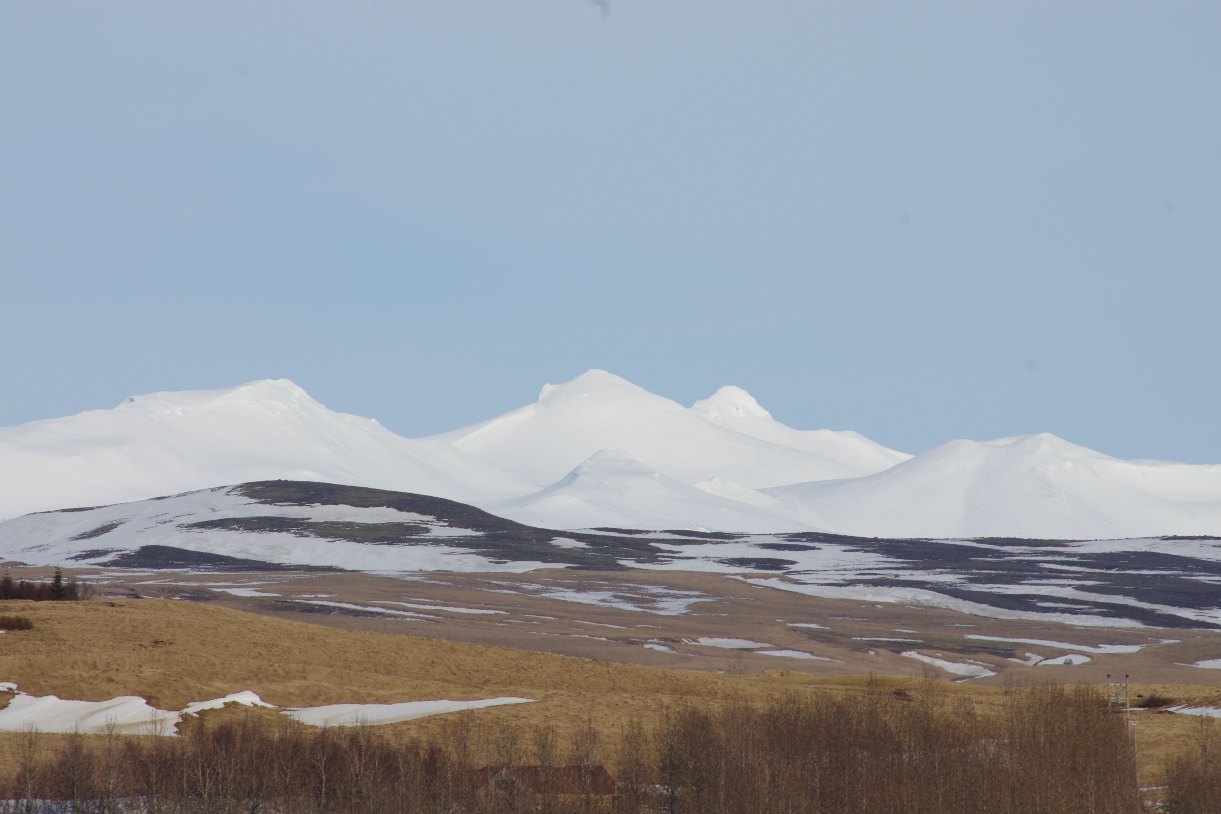
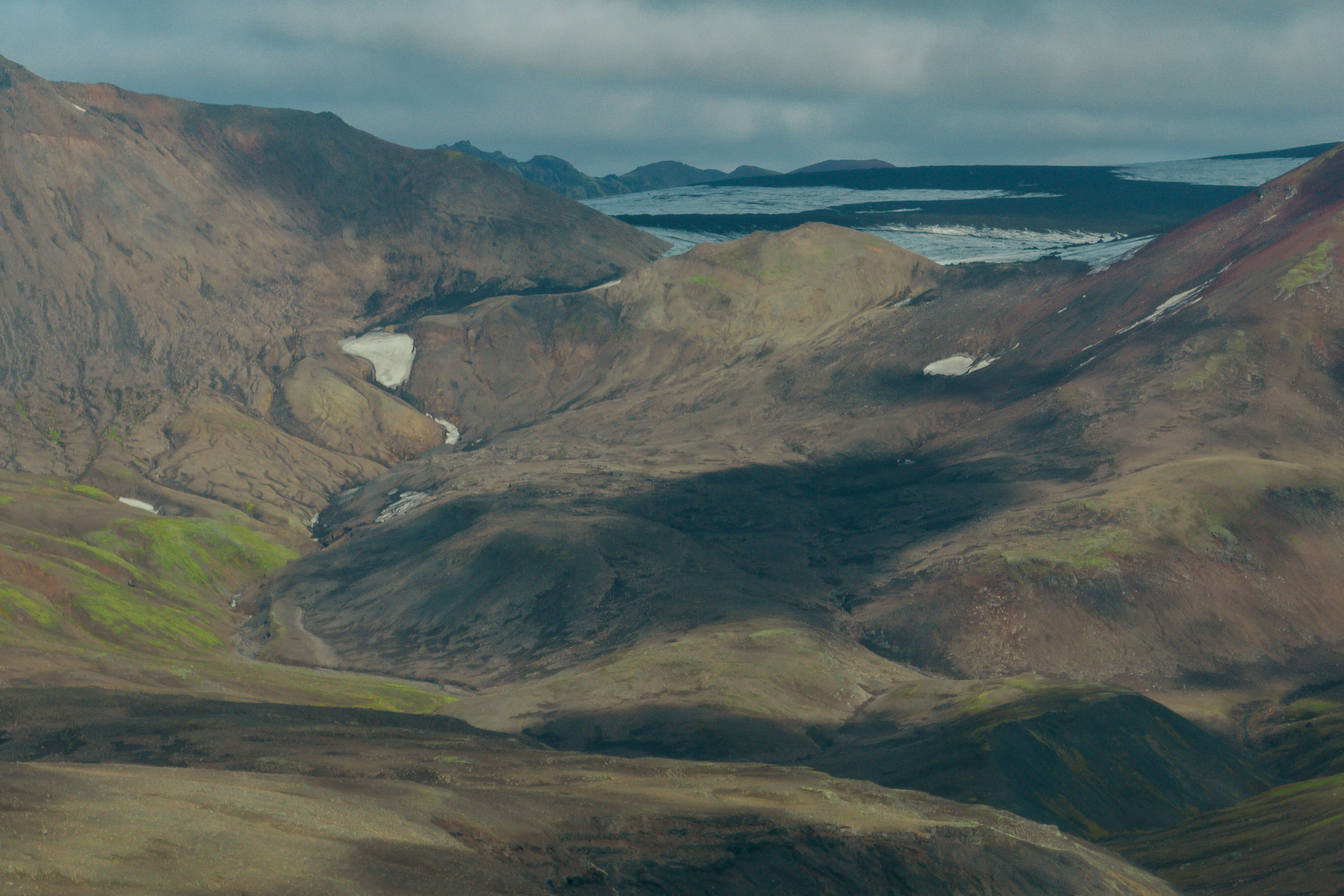
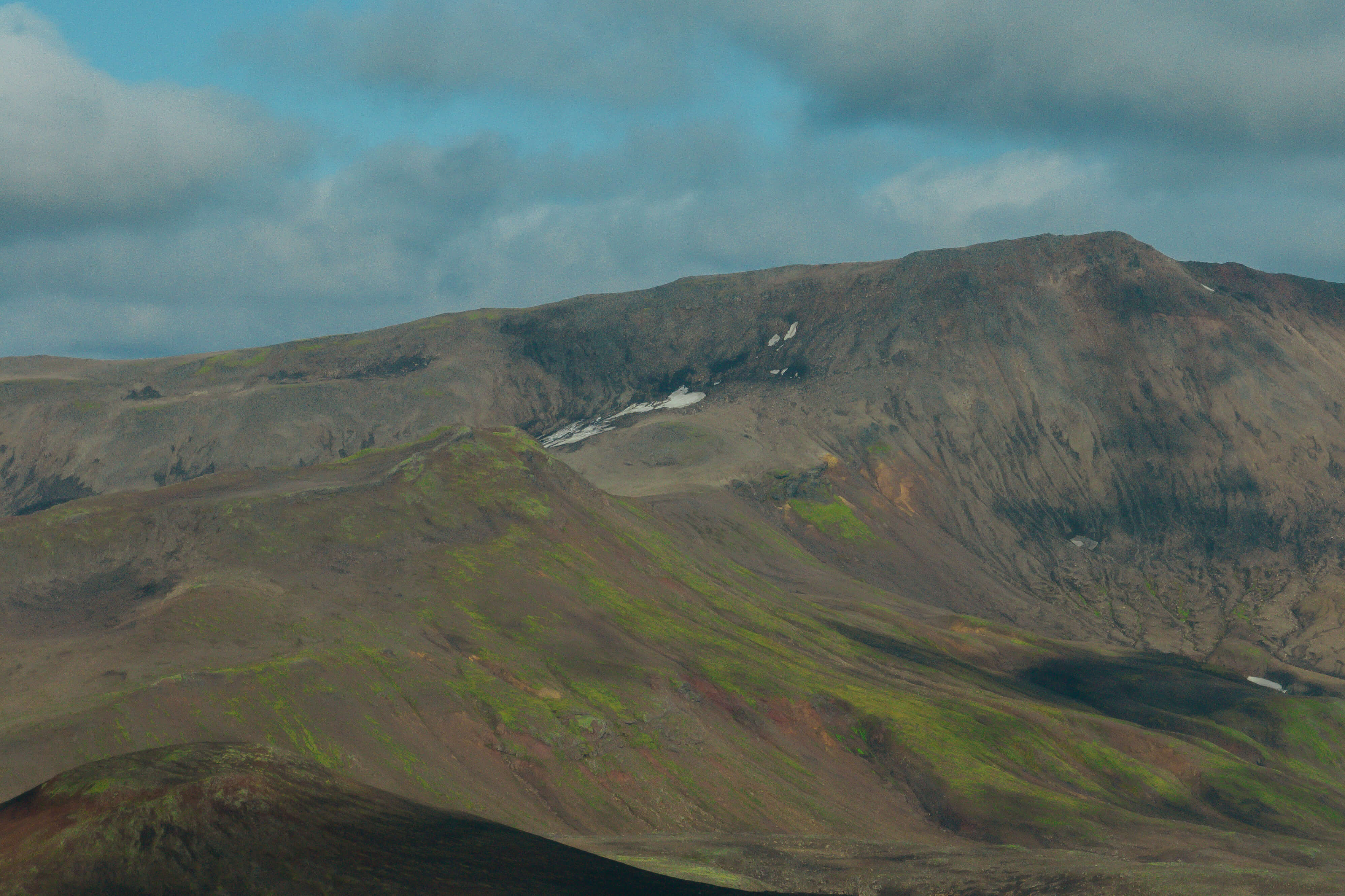
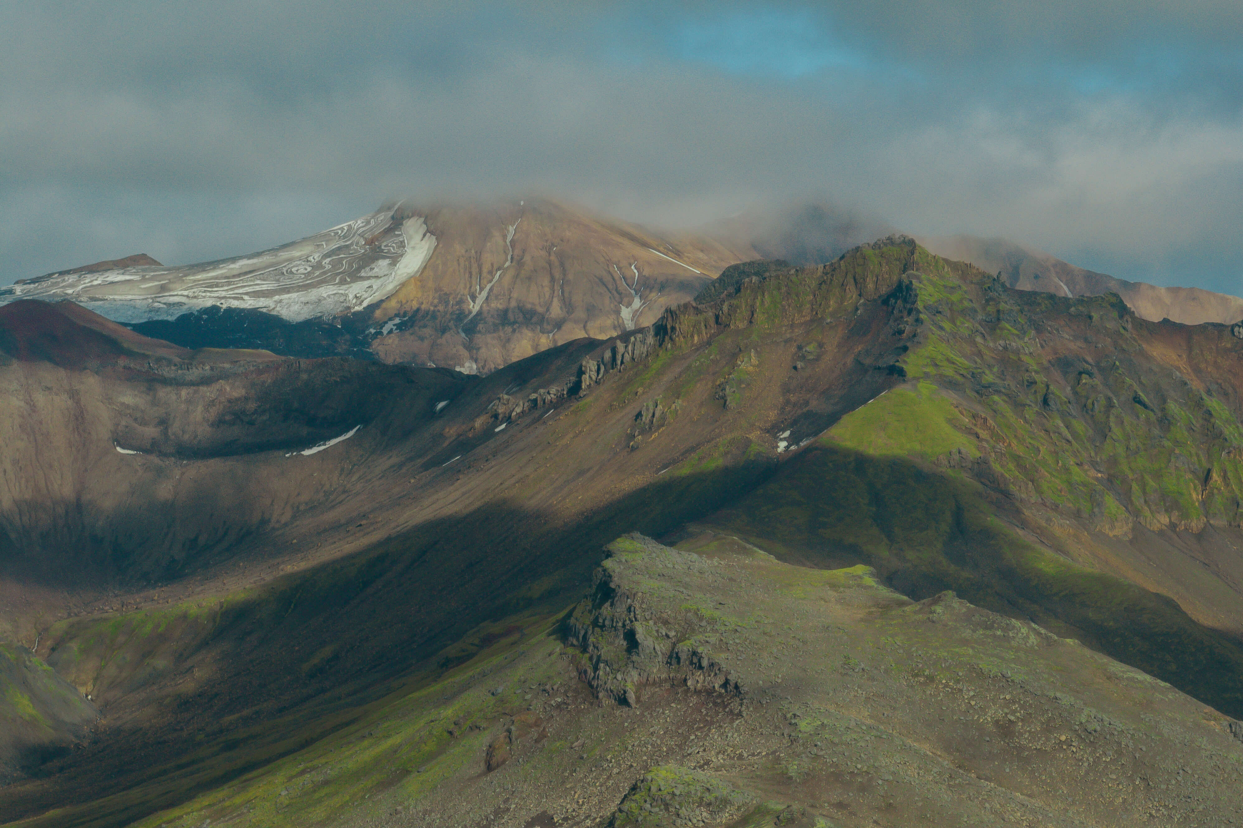
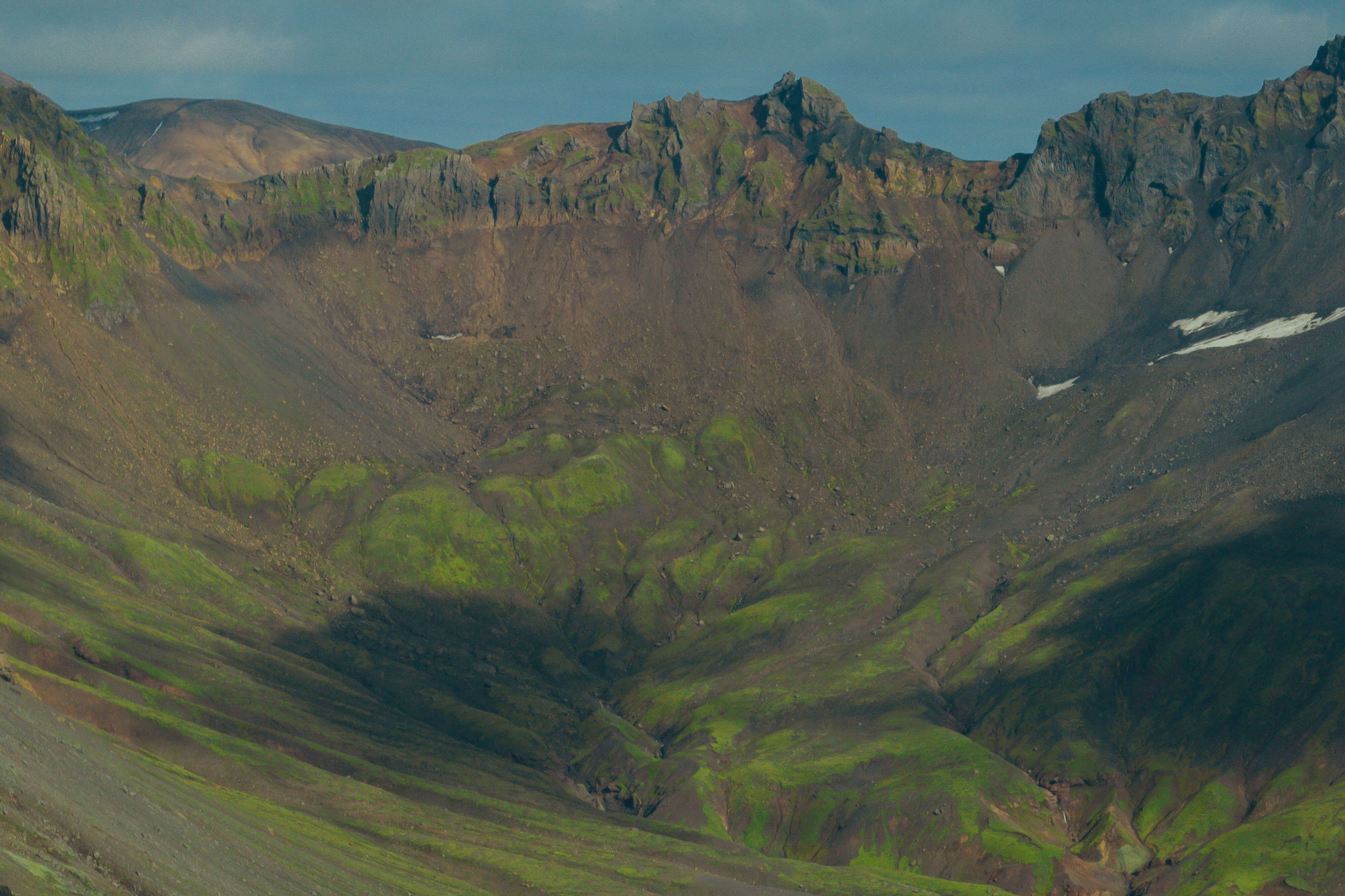
Tindfjöll is a mountain range with many peaks, the largest of which is simply called ‘The Peak’ and stands at 1251m high. The whole mountain range draws its name from this peak. While Tindfjallajökull is the smallest glacier in the country, it is situated on a giant crater, approximately 7-10 miles in diameter, which was formed from a fissure explosion. Ýmir is the highest peak at 1462m and Ýma is 1448m high. Ýma is just east of Ýmir, but the two peaks are symmetrical with a gap between them. Views are over Mýrdalsjökull, Eyjafjallajökull, Þórsmörk, Markafljótsgljúfur Canyon and Fjallabak.
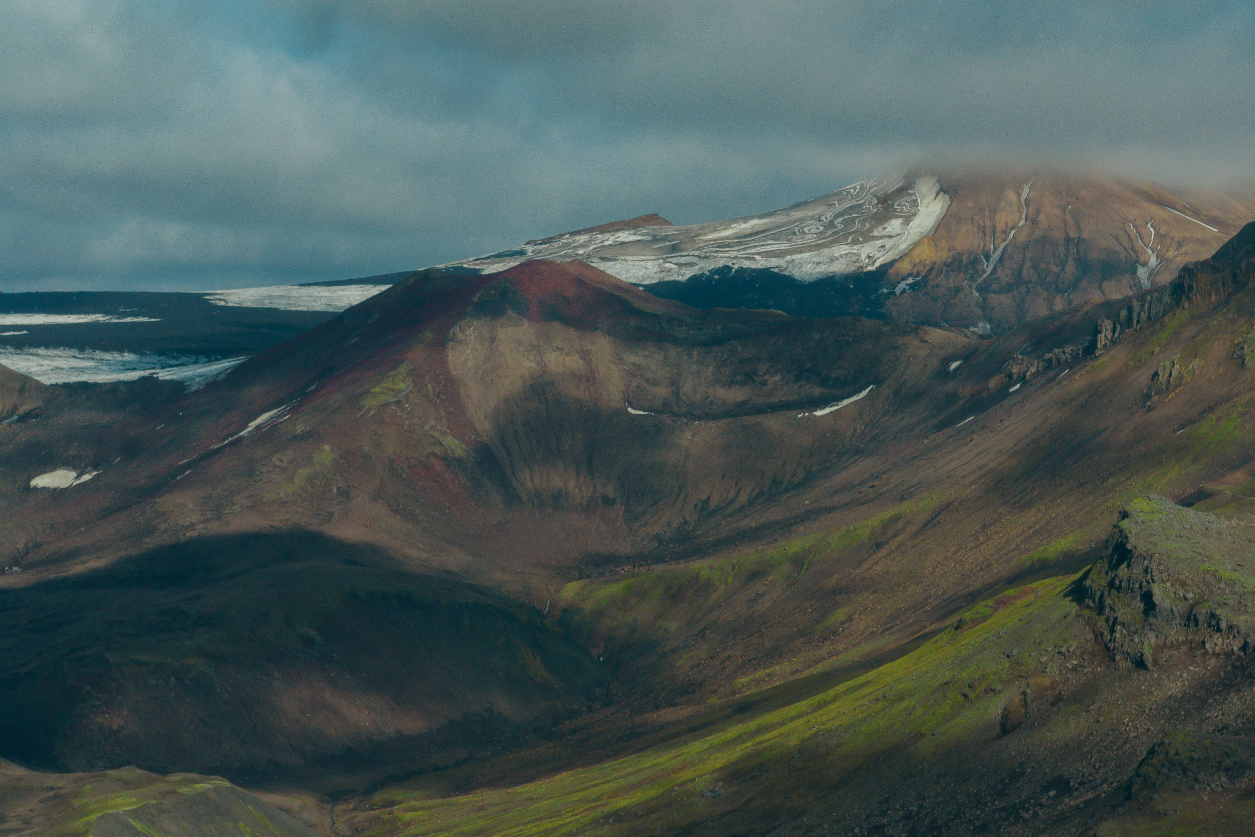
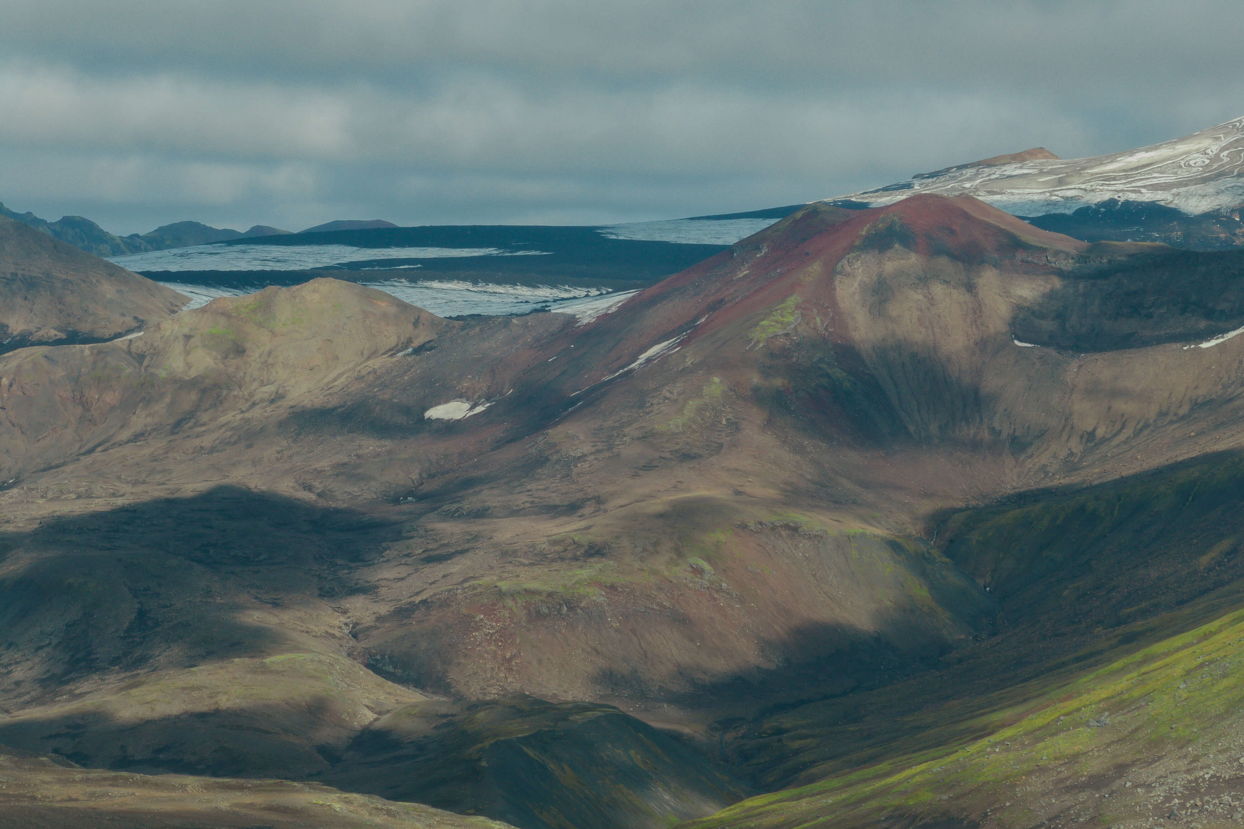
Tindfjallajökull is the 11th largest glacier in Iceland and is among the smallest glaciers found on the island, at 13 km2. The glacier thickness is not known but is estimated to be about 50-100 meters and glacial ice is only able to be formed on a small and localized area on Tindfjallajökull. The same named volcanic system is about 700.000 years old but volcanism in the area might have started about 1-2 million years ago. The system has a prominent 35-40 km2 caldera which is ca. 5 km in diameter. The caldera and surrounding Tindfjöll mountains are mostly made up of basaltic and rhyolitic hyaloclastites, lavas, and intrusions. The mountains have many peaks, but the mountains and the glacier get their names from the peak Tindur (1251 m), but the highest peaks of the caldera are the peaks of Ýmir (1462 m) and Ýma (1448 m). No eruption is known to have taken place in the system during historical times but up to twelve small eruptions are likely to have taken place in late-glacial and early postglacial time (around 11.500 years ago) and the volcano is still considered active.
Celebrating Earth Heritage
How to visit the Katla Geopark
Katla UNESCO Global Geopark is in central South Iceland