Kirkubæjarklaustur
The beautiful village of Kirkjubæjarklaustur is in the Municipality of Skaftárhreppur. The village was originally a farm called Kirkjubær á Síðu and had a convent there that was founded in 1186 by the Benedictine. The convent was active until the Reformation in Iceland and many place names and folk stories in the area relate to the convent.
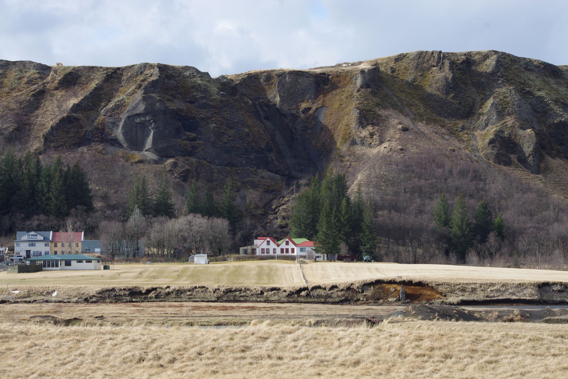
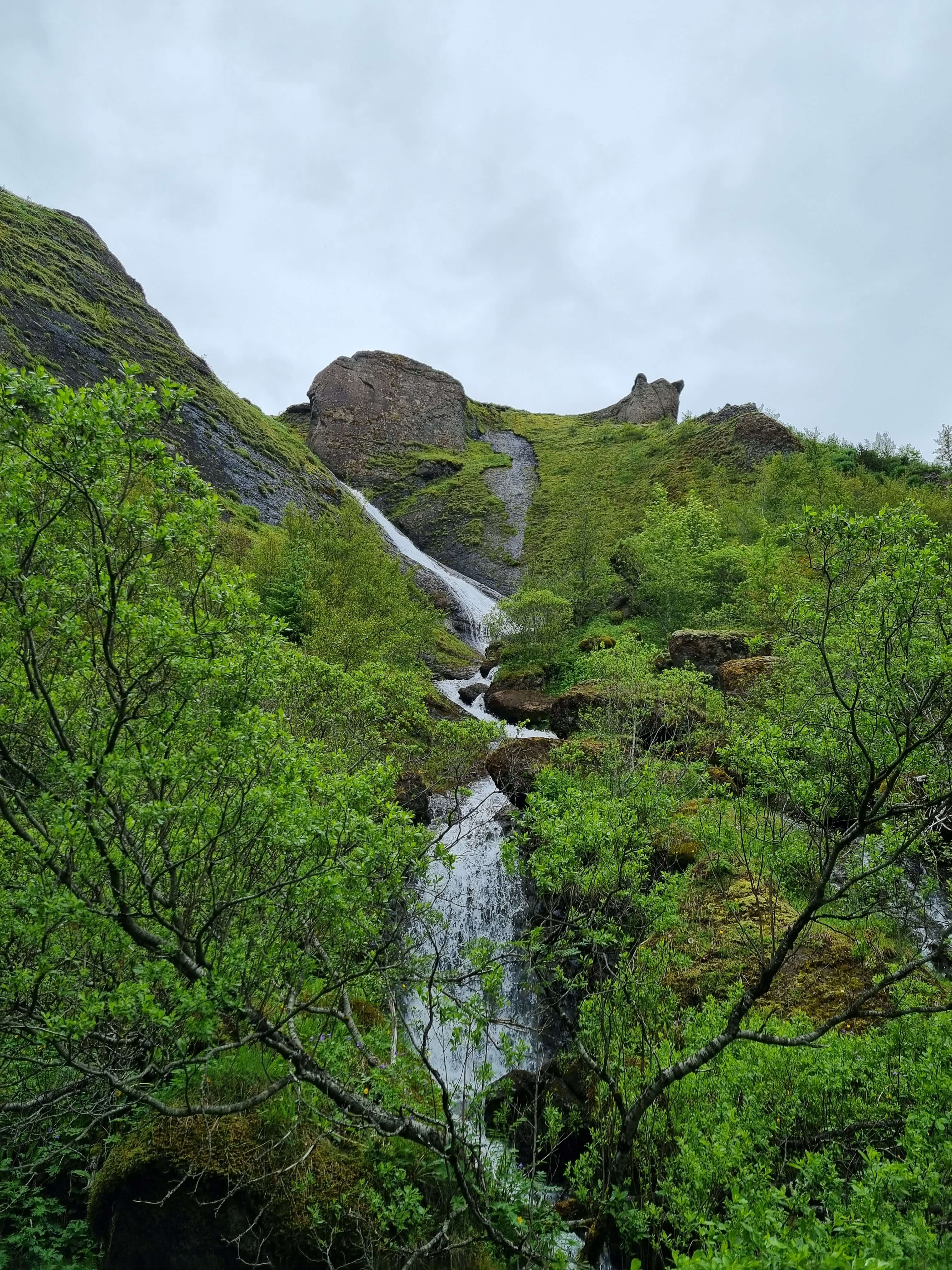
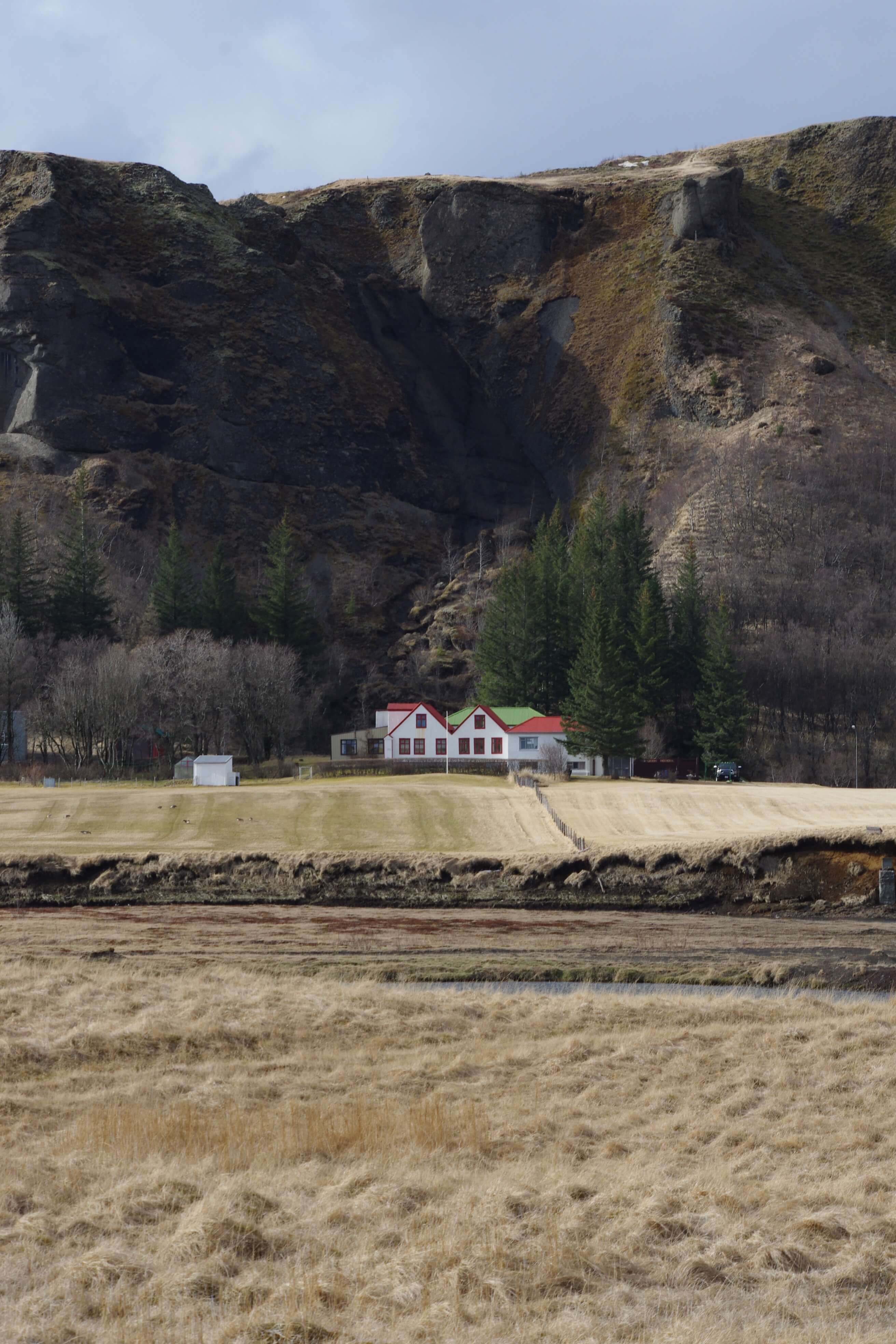
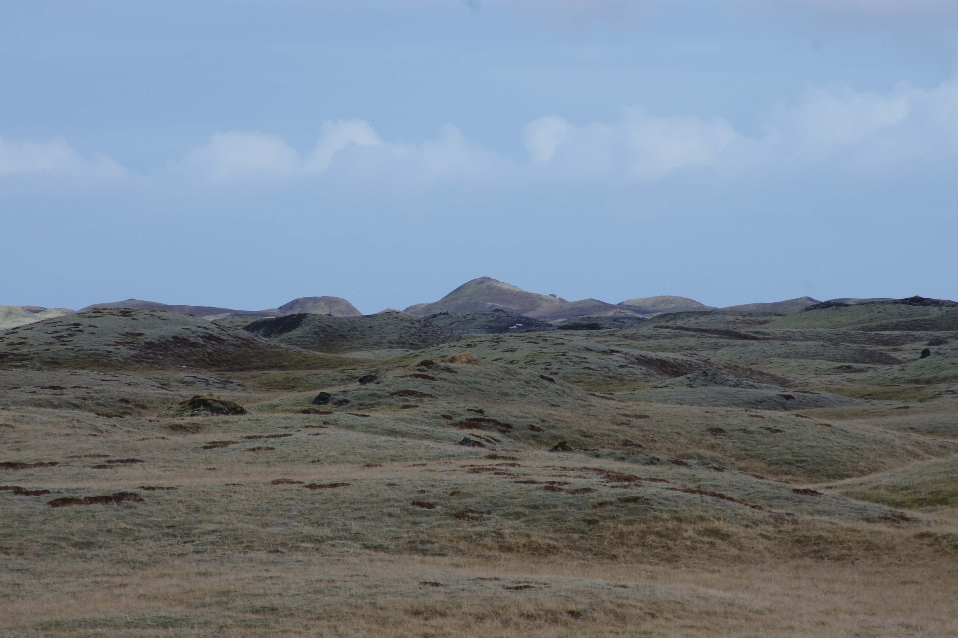
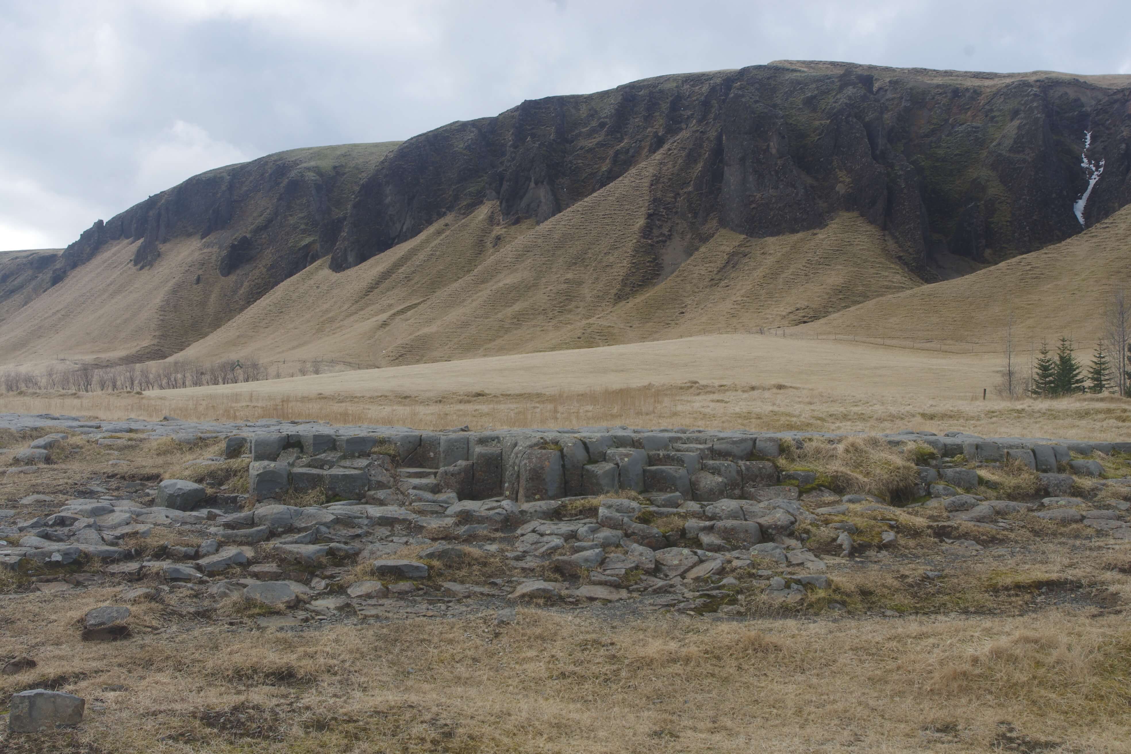
Today, around 200 people live in the town, and various services for residents and tourists can be found there. The natural beauty in and around Kirkjubæjarklaustur is unmatched, but there you can see, among other things, the Eldhraun lava field which was formed in the Lakagígar eruption of 1783-1784, Landbrotshólar rootless cones field which were formed in the Eldgjá eruption of 939, and Skaftá river and delta, but then there are also numerous geosites nearby, e.g. Fjaðrárgljúfur canyon, Systrafoss waterfall, Systrastapi rock, Systravatn lake, Kirkjugólf basalt columns, and Stjórnarfoss waterfall.
There are also very beautiful palagonite tuff formations in the cliffs above the village and the view of the mountains from there is magnificent, where you can see for example Mt. Lómagnúpur and Öræfajökull volcano and glacier.
Celebrating Earth Heritage
How to visit the Katla Geopark
Katla UNESCO Global Geopark is in central South Iceland